Where the Land Tells Stories: Exploring Blackfoot Confederacy History at Head-Smashed-In Buffalo Jump
Forget the static, two-dimensional lines on parchment. To truly understand historical maps, particularly those of Indigenous nations, you must step onto the land itself. For the mighty Blackfoot Confederacy – the Siksika, Kainai, Piikani (North and South) – their territory was not merely a collection of features, but a living, breathing blueprint of survival, culture, and spirit. If you seek to connect with the deep geographical knowledge and history of the Blackfoot, to experience a "map" that is etched into the very earth, there is no place more profound than Head-Smashed-In Buffalo Jump in Southern Alberta, Canada.
This UNESCO World Heritage site isn’t just a historical landmark; it’s a monumental outdoor classroom, an enduring testament to the ingenuity and intimate understanding the Blackfoot people held for their environment. It’s where the intricate knowledge that formed their historical maps – often passed down through oral tradition, ceremony, and practical application – comes vividly to life. A visit here is less about looking at a map, and more about walking within one, guided by the echoes of millennia.
The Landscape as a Living Map: A Masterpiece of Indigenous Geography

From the moment you arrive, the geography speaks volumes. Head-Smashed-In is a dramatic landscape: a towering sandstone cliff, stretching for kilometers, overlooking a vast expanse of short-grass prairie. Below the cliff lies a deep, natural coulee, the perfect trap. This isn’t just a scenic vista; it’s a meticulously understood and utilized feature, a critical component of the Blackfoot’s sustainable way of life. For thousands of years, this land was a primary hunting ground, a place where buffalo, the lifeblood of the Plains people, were expertly driven over the precipice.
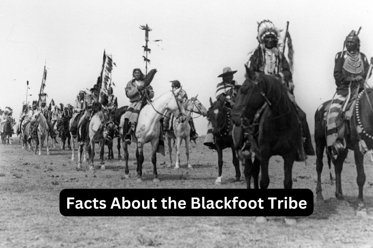
Imagine the historical maps of the Blackfoot. They wouldn’t have been drawn with grids and compass roses, but with intimate knowledge of topography, seasonal animal movements, water sources, spiritual sites, and safe passage. They would have encoded the precise angles of the wind, the subtle changes in vegetation indicating prime grazing, the hidden ravines for corralling. Standing atop the jump, looking out, you begin to grasp this indigenous cartography. You see the natural drive lanes extending far into the prairie – faint, ancient pathways marked by rock cairns and generations of human intervention. These weren’t random paths; they were carefully planned corridors, an active, living map guiding immense herds to their destiny. The Blackfoot hunters were master geographers, their minds holding an operational map of this entire ecosystem, enabling them to orchestrate a hunt of staggering scale and precision.
Decoding the Past: The Interpretive Centre as a Guidebook
The multi-level interpretive centre, built discreetly into the side of the cliff, acts as an unparalleled guide to this living map. It’s an architectural marvel that respects and complements the landscape, allowing visitors to descend through layers of time, much like excavating an archaeological site. Each floor reveals a different facet of the buffalo jump’s story and, crucially, illuminates the geographical and ecological intelligence of the Blackfoot.

Here, the abstract concept of historical maps gains tangible form. Displays illustrate the seasonal migrations of the buffalo, showing how the Blackfoot moved with them across their immense territory, a nomadic existence dictated by the animals’ own "map" of grazing lands and breeding grounds. You learn about the various tipi camps – processing camps, winter camps – positioned strategically according to resources and protection from the elements, each location a dot on their internal map of seasonal living. Artifacts – tools, clothing, ceremonial items – are presented not just as objects, but as products of a sophisticated culture deeply connected to the land and its resources, resources mapped and understood with unparalleled clarity. The centre meticulously explains the physics of the drive, the psychology of the buffalo, and the collaborative social structure required to execute such a massive undertaking. This isn’t just history; it’s a masterclass in applied geography and human ecology.
The Buffalo Jump in Detail: A Testament to Ingenuity and Mapping Prowess
Descending further into the centre brings you to the kill site itself, a chilling and powerful experience. The sheer scale of bones buried here – millions of buffalo over thousands of years – speaks to the success and sustainability of this hunting method. But more importantly, it speaks to the deep geographical knowledge required. The Blackfoot understood the prevailing winds, the exact contours of the land needed to funnel the buffalo, the precise spot where the cliff was high enough to ensure a kill but low enough to allow processing below.
The drive lanes, stretching up to 30 kilometres out onto the prairie, were not random. They were carefully designed, taking advantage of natural depressions and rises, augmented by man-made cairns. These lanes formed a complex, dynamic map that would change slightly with each hunt, adapted to herd size, wind direction, and weather. It was a sophisticated system of land use and resource management, reflecting an understanding of landscape dynamics that modern cartography only attempts to capture. The Blackfoot’s "maps" were not just about where things were, but how they functioned in relation to each other – the interaction between land, animal, and human. This deep, functional mapping allowed them to sustain their population for over 6,000 years, making Head-Smashed-In one of the oldest and best-preserved buffalo jumps in North America.

Beyond the Physical: Cultural and Spiritual Mapping
Historical maps, especially Indigenous ones, are never solely about physical features. They are imbued with stories, spiritual significance, resource ownership, and inter-tribal relations. Head-Smashed-In, while primarily a hunting site, also carries immense cultural and spiritual weight. It was a place of abundance, but also a place where the sacred relationship between humans and the buffalo was reaffirmed. Ceremonies would have been performed, prayers offered, and traditions passed down – all intrinsically linked to the geographical success of the jump.
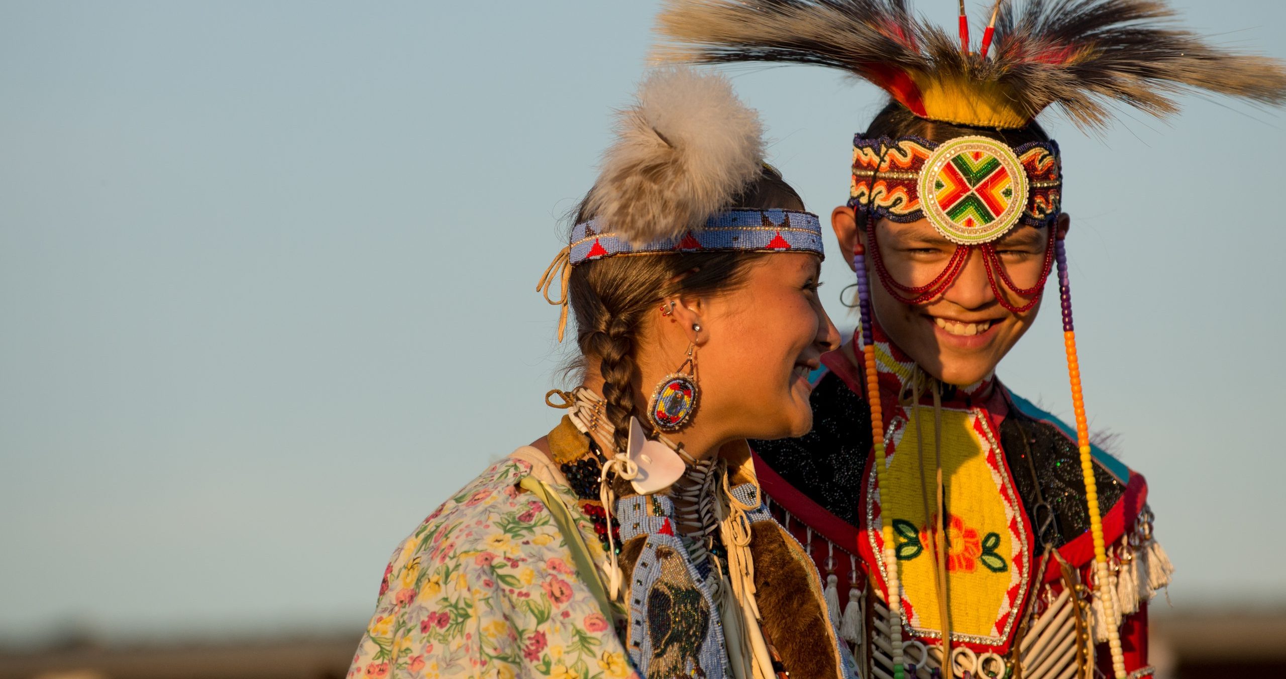
The interpretive centre touches on these deeper layers. It explains the Blackfoot worldview, where the land is not owned but stewarded, where every feature has a story, and where the buffalo were seen as gifts from the Creator. These narratives form another layer of the Blackfoot’s historical maps – maps of meaning and belonging. They are not lines on paper but stories etched into memory, carried in songs, and performed in dances, all tied to specific places on the land. Visiting Head-Smashed-In allows you to glimpse this profound connection, to understand that the Blackfoot Confederacy’s maps were holistic representations of their entire universe, not just geographical locations.
Experiencing the Scale: Standing on the Edge of History
Perhaps the most impactful moment of a visit is standing at the very top of the cliff, looking out over the vast, windswept plains. From this vantage point, you gain a true appreciation for the scale of the Blackfoot Confederacy’s traditional territory and the immense undertaking of the buffalo jump. You can almost feel the thunder of thousands of hooves, hear the shouts of the drivers, and imagine the vital energy of a culture thriving on this rich land.
This view brings those abstract historical maps into sharp focus. You see the endless horizons that defined their world, the subtle undulations of the land that dictated movement, and the sheer challenge and triumph of their existence. It’s a moment that transcends tourism, offering a profound connection to the generations who lived, hunted, and thrived here. It transforms a simple travel experience into an immersive journey through time, guided by the indelible "maps" of a resourceful and resilient people.

A Journey Through Time, Guided by the Land
Head-Smashed-In Buffalo Jump is more than just a place; it’s an experience that reshapes your understanding of history, geography, and indigenous knowledge. It’s where the Blackfoot Confederacy’s historical maps cease to be conceptual and become palpable – etched into the cliff face, buried beneath layers of bone, and woven into the very fabric of the landscape.
For any traveler seeking a deeper connection to the land and its original inhabitants, this site is indispensable. It challenges you to look beyond the obvious, to listen to the stories the land tells, and to appreciate the intricate geographical wisdom that sustained a culture for millennia. A visit to Head-Smashed-In isn’t just a trip; it’s an education, a revelation, and an unforgettable journey into the heart of the Blackfoot Confederacy’s living, breathing map. It reminds us that the most profound maps are not just drawn on paper, but are lived, remembered, and deeply intertwined with the very essence of a people and their sacred land.
