>
Unearthing History: A Journey Through Osage Nation’s Oil Lands, Guided by Ghost Maps
Forget your typical scenic drives. Our destination is Osage County, Oklahoma, a place where the very land whispers stories of unimaginable wealth, profound tragedy, and enduring resilience. This isn’t just a geographical review; it’s an immersive historical journey, best undertaken with a mental map – or better yet, actual historical maps – of the Osage Nation’s oil and gas lands as your guide. These aren’t just dusty documents; they are blueprints to a bygone era, charting the rise and fall of fortunes, the scars on the earth, and the indelible spirit of a people.
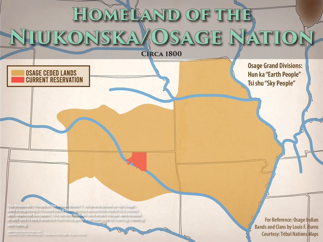
Stepping into Osage County is to step directly into a living archive. The "place" we’re reviewing isn’t a single museum exhibit (though the Osage Nation Museum is vital), but the sprawling 2,274 square miles of the county itself. It’s the largest county in Oklahoma, encompassing the vast majority of the Osage Nation’s reservation lands, purchased by the Osage people in 1872. What makes this land unique, and what those historical maps so vividly illustrate, is the Osage’s unparalleled foresight: they retained the subsurface mineral rights. This decision, made long before the true extent of the oil beneath their feet was known, would transform them into the wealthiest people per capita in the world.

Imagine holding one of these historical maps. You’d see a mosaic of rectangles and irregular polygons, each representing a "headright" – an individual Osage’s share of the tribal mineral estate. Alongside these, you’d find notations for oil leases, marked wells, and the serpentine lines of pipelines stretching across the prairie. These maps aren’t merely cadastral surveys; they are economic chronicles, detailing the frantic expansion of the oil industry. They show the incredible density of drilling, particularly in areas like Burbank, and the names of the major oil companies – Marland, Phillips, Sinclair – that flocked to exploit the "black gold."
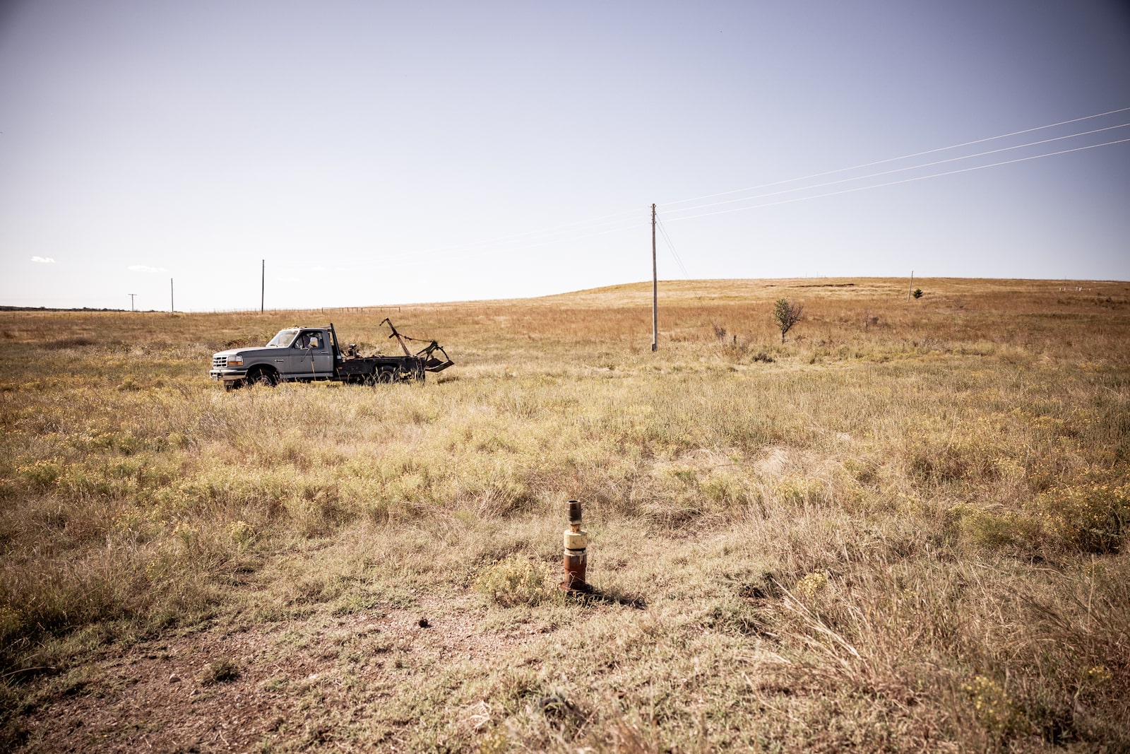
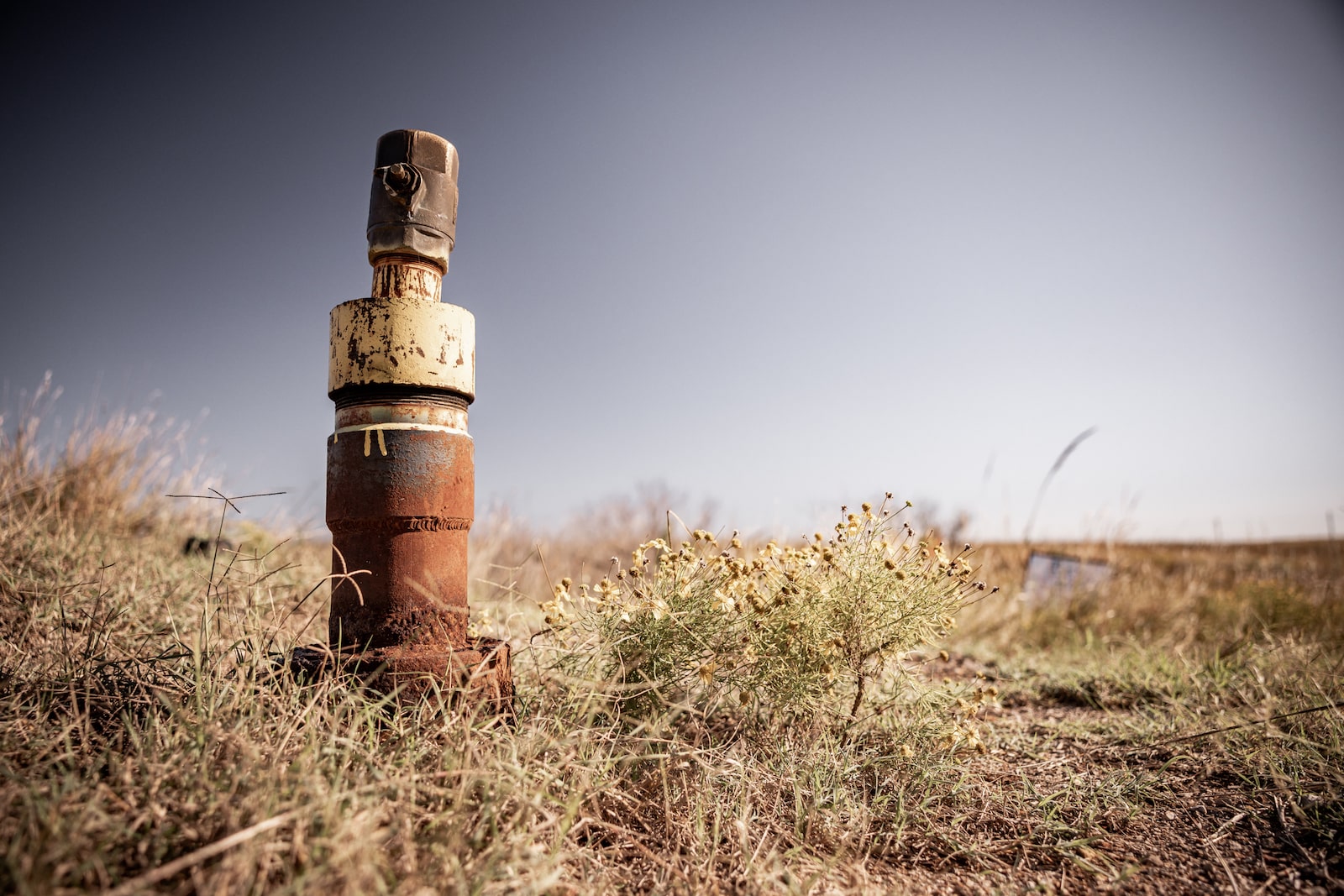
Driving through Osage County today, particularly off the main highways, you’ll still find the echoes of these maps. Look closely, and you’ll spot abandoned pump jacks, rusting like skeletal sentinels against the horizon. Faded signs point to ghost towns that once boomed with thousands of roughnecks, speculators, and service providers. The land itself, in places, still bears the pockmarks of countless drill sites, some now reclaimed by the tallgrass prairie, others still barren reminders of industrial fervor. These visible remnants are the physical manifestation of the lines and symbols on those historical maps.
Our journey begins in Pawhuska, the capital of the Osage Nation. This town, with its grand sandstone buildings and historic architecture, was the administrative and financial heart of the oil boom. The Osage Agency building, a stately structure, once housed the Bureau of Indian Affairs officials who oversaw the leasing and disbursement of Osage oil royalties. The First National Bank of Pawhuska, with its ornate facade, processed transactions that literally moved millions of dollars daily. Stand on Main Street, and if you let your imagination wander, you can almost hear the roar of early automobiles, the clatter of horse-drawn wagons, and the excited chatter of oilmen and Osage citizens, all drawn by the lure of wealth.
The Osage Nation Museum, located just outside Pawhuska, is an indispensable stop. While it might not always have original oil and gas lands maps on permanent display (many are held in archives like the Oklahoma Historical Society or the Osage Nation archives), it provides the essential context. Here, you’ll find photographs of the Osage during the boom years, showcasing their opulent homes, their modern cars, and their unique blend of traditional dress with contemporary fashion. The museum powerfully conveys the story of the Osage people, their culture, and how their lives were irrevocably altered by the oil wealth. It’s here that the abstract lines on a map gain human faces.

One of the most poignant locations that these maps indirectly point to is the site of the "Million Dollar Elm." While the exact tree no longer stands, its significance is legendary. It was under this tree, just outside Pawhuska, that the Osage held their mineral rights auctions, leasing parcels of land to the highest bidding oil companies. Imagine the scene: tribal leaders, BIA officials, and a throng of eager oilmen, all gathered under a single tree, negotiating deals worth millions. The maps, in their own way, are a testament to the outcomes of those very auctions, meticulously documenting who leased what, where, and for how much.
But the story of Osage oil wealth is not solely one of prosperity. It carries a profound and chilling shadow, a narrative that has recently gained global attention through David Grann’s book and Martin Scorsese’s film, "Killers of the Flower Moon." The historical oil and gas maps, particularly those showing headright ownership, become terrifying documents when viewed through this lens. They reveal the intricate web of wealth that made Osage citizens targets. The Osage people, especially women who inherited multiple headrights, became victims of a systematic conspiracy of murder and exploitation, orchestrated by greedy white men intent on stealing their oil fortunes.
As you drive through the county, perhaps past the remote areas of Fairfax or Gray Horse, where many of these heinous crimes occurred, the maps take on a new, somber significance. They delineate the very lands whose subsurface wealth led to such brutal violence. The seemingly innocuous lines marking property boundaries and mineral leases suddenly become markers of immense human suffering and injustice. It’s a sobering realization that the pursuit of resources, as documented on these maps, can lead to such profound darkness.
Today, the Osage Nation continues to manage its mineral estate, though the era of uncontrolled boom has long passed. The maps continue to evolve, reflecting contemporary leases, environmental regulations, and the Nation’s strategic investments in its future. Visiting Osage County today is to witness a vibrant, resilient people who have survived immense challenges. The Osage Nation is actively engaged in cultural preservation, language revitalization, and economic development, building on the legacy and lessons of their past.

For the traveler, a visit to Osage County offers a unique blend of natural beauty and historical gravitas. Beyond the oil history, the county is home to the Tallgrass Prairie Preserve, a magnificent expanse of pristine prairie managed by The Nature Conservancy. This is a place for reflection, for understanding the land before the derricks, and for appreciating the enduring beauty that transcends human endeavors. Driving through the Preserve, watching bison graze, offers a powerful counterpoint to the industrial scars elsewhere in the county. It’s a reminder of what the Osage people have always cherished and continue to protect.
While the Pioneer Woman Mercantile in Pawhuska draws crowds for its modern charm, the true, deeper journey lies in peeling back those layers of history. It’s in seeking out the subtle hints of the past – the crumbling foundations, the rusted equipment, the historical markers – and connecting them to the grand narrative illustrated by those historical maps.
In essence, Osage County, Oklahoma, is a place where history isn’t just displayed; it’s embedded in the very landscape. The historical oil and gas lands maps serve as an invisible overlay, transforming a simple drive into a profound journey through wealth, betrayal, and the enduring spirit of the Osage Nation. It’s a challenging, thought-provoking, and ultimately deeply rewarding destination for any traveler seeking more than just a pretty view – a place where the past speaks volumes, if you only know how to read its map.
>

