Mapping Resilience: Unveiling the Makah Tribe Reservation of Washington
The Makah Indian Reservation map is far more than a geographical delineation; it is a living document of history, identity, and enduring sovereignty. Located at the extreme northwestern tip of Washington’s Olympic Peninsula, this map charts the physical boundaries of a resilient Indigenous nation whose deep connection to land and sea has shaped their culture for millennia. For the discerning traveler or history enthusiast, understanding this map offers an unparalleled gateway into the Makah experience, revealing layers of pre-colonial prosperity, colonial impact, and an unwavering commitment to cultural survival.
A Legacy Forged by the Sea: Pre-Contact Makah Life
Before the arrival of Europeans, the Makah people thrived in a rich and abundant environment, their lives inextricably linked to the Pacific Ocean. Their traditional territory stretched across the rugged coastline of the Olympic Peninsula, encompassing dense temperate rainforests, pristine rivers, and the vast expanse of the open sea. The Makah were master mariners and skilled whalers, a unique distinction among Pacific Northwest tribes. Their sophisticated hunting techniques, employing massive cedar canoes and specialized harpoons, allowed them to harvest gray whales, humpbacks, and even the formidable right whale. This wasn’t merely a subsistence activity; whaling was the cornerstone of Makah society, interwoven with spiritual beliefs, social structure, and artistic expression.

Their villages, like the ancient Ozette site, offer a breathtaking glimpse into this pre-contact world. Preserved by a mudslide for over 500 years, Ozette revealed an astonishing array of artifacts – intricate carvings, tools, baskets, and even entire cedar longhouses – demonstrating a highly advanced and prosperous culture. The Makah were not just hunters; they were expert artisans, weavers, carvers, and traders, their influence extending far beyond their immediate territory. Their language, a dialect of Nuu-chah-nulth, connected them to tribes across Vancouver Island, further illustrating their extensive networks. This vibrant, self-sufficient existence was the backdrop against which the landscape of the future reservation would be drawn.
The Treaty of Neah Bay: A Line in the Sand, a Claim to the Sea
The mid-19th century brought an irreversible shift. As American settlers pushed westward, the U.S. government sought to formalize land claims and assimilate Indigenous populations. The Makah, recognizing the inevitable, entered into negotiations. On January 31, 1855, the Treaty of Neah Bay was signed between the Makah Tribe and Governor Isaac Stevens, representing the U.S. government.
This treaty is monumental in Makah history and critical to understanding their reservation map. In exchange for ceding vast ancestral lands, the Makah reserved a smaller, contiguous tract of their traditional territory, establishing what is now the Makah Indian Reservation. Critically, the treaty explicitly preserved the Makah’s inherent right to hunt whales and seals, to fish, and to gather on their traditional grounds. Article 4 states: "The right of taking fish and of whaling or sealing at usual and accustomed grounds and stations is further secured to said Indians in common with all citizens of the United States." This specific clause, fought for by Makah chiefs, would become a bedrock of their identity and a legal bulwark in future battles over cultural practices.

The map of the Makah Reservation, therefore, doesn’t just show land given to them; it shows land reserved by them, a fraction of their original domain, but one they fought to retain, along with vital off-reservation rights. This distinction is crucial for understanding Indigenous sovereignty in the United States.
The Makah Reservation Map: A Landscape of Continuity and Change
Today, the Makah Indian Reservation map encompasses approximately 27,000 acres, stretching from the rugged Pacific coast inland into the dense, old-growth forests of the Olympic Peninsula. Its most prominent features include:
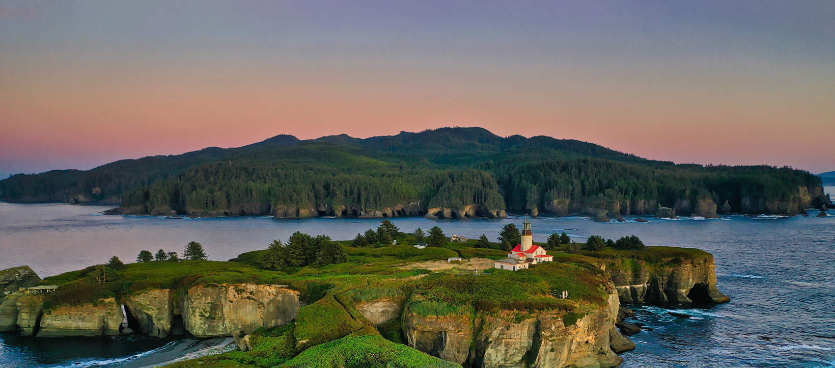
- Cape Flattery: The northwesternmost point of the contiguous United States, a dramatic headland where the Strait of Juan de Fuca meets the Pacific Ocean. This iconic landmark, a spiritual and practical vantage point for generations, is a significant part of the reservation and a major draw for visitors. The Cape Flattery Trail, a beautifully maintained boardwalk, allows access to breathtaking views and showcases the natural splendor of Makah territory.
- Neah Bay: The primary village and administrative center of the Makah Tribe, nestled along the calmer waters of the Strait. This is where tribal government offices, the Makah Museum, schools, and most of the tribal population reside. Neah Bay serves as the economic and cultural heart of the reservation.
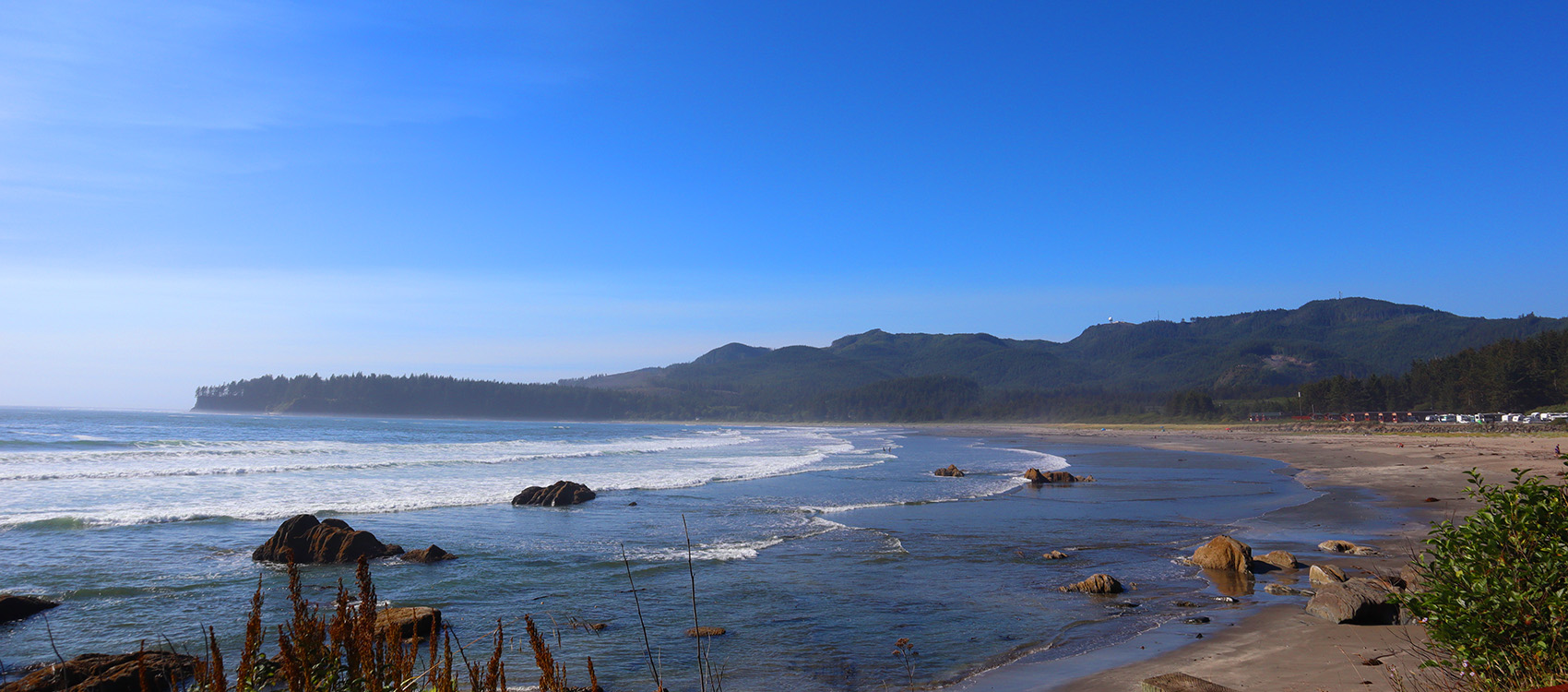
- The Pacific Coastline: Miles of pristine, wild coastline, characterized by sea stacks, rocky beaches, and powerful surf. This coast remains vital for fishing, gathering, and spiritual practices.
- Inland Forests: Vast expanses of temperate rainforest, rich in cedar, spruce, and hemlock. These forests have historically provided essential resources for housing, canoes, tools, and medicines, and continue to be managed by the tribe for economic and ecological sustainability.
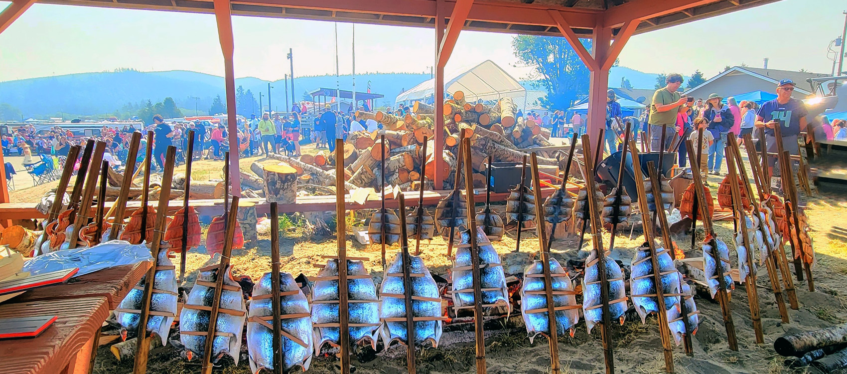
- Rivers and Streams: Numerous waterways crisscross the reservation, supporting vital salmon runs and providing freshwater resources.


The boundaries on the map, while legally defined, represent a compromise. They are significantly smaller than the ancestral territories where Makah people once roamed freely, hunted, and gathered. Yet, within these boundaries, the Makah have maintained and strengthened their self-governance, managing their resources, developing their infrastructure, and nurturing their cultural institutions. The map illustrates a geographical sovereignty that underpins their political and cultural self-determination.
Identity and Resilience: Whaling, Culture, and Self-Determination
The Makah people’s identity is inextricably woven into their reservation map, particularly through their connection to the ocean and the cultural practices it sustains.
The Enduring Spirit of Whaling: The right to whale, secured in the 1855 treaty, has been a defining feature of Makah identity and a symbol of their resilience. After a 70-year hiatus due to commercial whaling decimating whale populations, the Makah successfully petitioned the International Whaling Commission (IWC) and the U.S. government to resume ceremonial and subsistence whaling in the late 1990s. The successful hunt of a gray whale in 1999, using traditional methods and canoes, was a profound moment of cultural revitalization, met with both international acclaim and significant protest from animal rights groups. The subsequent legal battles, though challenging, have only reinforced the Makah’s resolve and their legal claim to this essential practice. For the Makah, whaling is not merely about sustenance; it is a spiritual ceremony, a coming-of-age ritual, and a vital link to their ancestors and cultural heritage. The reservation map, with its clear access to the Pacific, is a constant reminder of this profound right and responsibility.
Cultural Revitalization: Beyond whaling, the Makah have made tremendous strides in revitalizing their language (a dialect of Nuu-chah-nulth), traditional arts, and ceremonies. The Makah Cultural and Research Center/Makah Museum in Neah Bay is a beacon of this effort. Housing thousands of artifacts recovered from the Ozette archaeological site, it offers an unparalleled educational experience, connecting visitors directly to the Makah’s ancient past and vibrant present. The museum is a testament to the tribe’s commitment to preserving and sharing their history, art, and stories with future generations and the wider world. Canoe carving, weaving, cedar bark artistry, and traditional storytelling are all experiencing a resurgence, ensuring that the rich cultural tapestry depicted in their ancestral lands remains vibrant within the reservation.
Sovereignty and Economic Development: The Makah Tribe operates as a sovereign nation, with its own government, police force, and judicial system. They manage their natural resources, including fisheries and timber, and invest in economic development initiatives to support their community. Tourism, centered around Cape Flattery and the Makah Museum, is an increasingly important sector, providing employment and showcasing Makah culture. The reservation map, therefore, represents not just a land base but a jurisdictional area where Makah laws and governance prevail, where self-determination is practiced daily.
Experiencing the Makah Reservation: A Journey for Travelers and Educators
For those seeking an authentic and educational travel experience, the Makah Reservation offers a unique opportunity to engage with Indigenous history and contemporary life.
- Respectful Engagement: Visitors are encouraged to approach their experience with respect and an open mind. Remember that you are guests on sovereign tribal land. Always adhere to posted regulations, especially regarding access to cultural sites or natural areas.
- Cape Flattery Trail: This accessible boardwalk trail (a modest day-use fee is often required, supporting tribal services) leads to stunning viewpoints overlooking the Pacific Ocean, sea caves, and the Tatoosh Island lighthouse. It’s a journey into both natural beauty and Makah history.
- Makah Museum: A must-visit. Allow ample time to explore the incredible artifacts from Ozette, learn about Makah whaling traditions, and gain a deeper understanding of their history and culture. It’s an invaluable resource for anyone interested in Indigenous studies or Pacific Northwest history.
- Neah Bay Village: Support local Makah businesses, from art galleries to restaurants. This direct engagement helps sustain the community.
- Understanding the Map: As you explore, remember that the physical landscape you traverse is imbued with millennia of Makah history, stories, and cultural significance. The mountains, rivers, and the sea are not merely scenic backdrops but integral parts of the Makah identity.
Educators can leverage the Makah Reservation as a powerful case study for teaching about Indigenous sovereignty, treaty rights, environmental stewardship, and cultural resilience. The Makah’s story challenges simplistic narratives of American history and highlights the ongoing importance of self-determination for Native nations.
Conclusion
The Makah Tribe Reservation map is more than a boundary on paper; it is a profound testament to an enduring connection between a people and their ancestral lands. It tells a story of survival, of a tenacious fight to retain cultural practices, and of a vibrant nation continually defining its future. From the ancient whaling traditions rooted in the Pacific to the modern efforts of cultural revitalization and self-governance, the map represents the geographical heart of Makah identity. For those who travel its roads or walk its trails, it offers an invitation to witness the living legacy of a people whose resilience shines as brightly as the sun setting over Cape Flattery, a timeless beacon on the edge of the world.
