Stepping through the threshold of the Comanche National Museum and Cultural Center in Lawton, Oklahoma, isn’t just entering a building; it’s traversing a map. Not a static, paper-thin representation, but a vibrant, living cartography of a powerful nation, whose history is etched not only on parchment but into the very landscape of the American Southwest. My journey here was driven by a fascination with the Comanche Nation’s historical maps – those early, often biased, European attempts to delineate Comanchería, and the indigenous understanding of their vast, formidable territory. This center, and the surrounding land it interprets, offers an unparalleled opportunity to reconcile these different views, to walk the lines drawn by history, and to truly grasp the scale of a nation that once dominated the Southern Plains.
The museum itself, a striking edifice blending modern architecture with elements reflecting Comanche heritage, immediately sets a contemplative tone. The vast, open lobby, filled with natural light, leads into exhibits designed to unfold the Comanche story from their migration onto the plains, their mastery of the horse, and their rise as the "Lords of the Southern Plains." But it’s the subtle yet pervasive presence of maps, both literal and metaphorical, that truly captivated me. Beyond the glass cases displaying beautifully preserved artifacts – intricate beadwork, feathered war bonnets, formidable lances, and the tools of daily life – the narrative is deeply rooted in geography. Early European maps, often crude and speculative, are displayed alongside more detailed U.S. Army surveys from the 19th century, each telling a piece of the story of encounter, conflict, and eventual confinement.
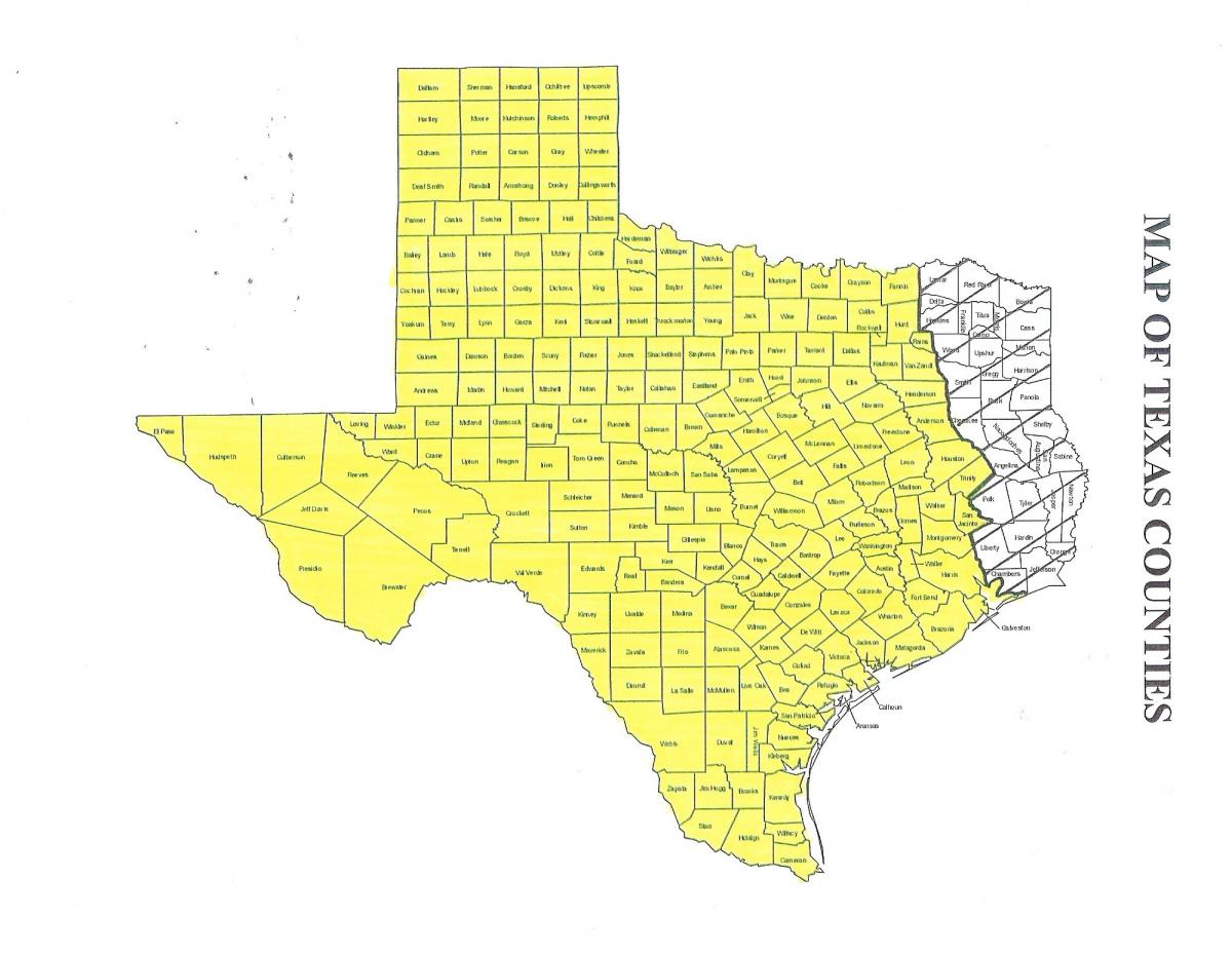
One particular exhibit dedicated to the expansion and contraction of Comanchería is particularly illuminating. These maps, projected and interactive, allow visitors to trace the fluctuating boundaries of Comanche influence, from their peak dominance spanning parts of present-day Texas, Oklahoma, Kansas, Colorado, and New Mexico, down to the much smaller reservation lands. What these maps vividly illustrate is not just territorial control, but the strategic brilliance of the Comanche. They mastered the geography, utilizing vast distances, hidden water sources, and the formidable Caprock Escarpment as natural defenses, making their heartland, the Llano Estacado, virtually impenetrable for generations. Understanding this immense geographical reach, often dismissed by simplistic historical narratives, fundamentally shifts one’s perspective on their power and resilience. It wasn’t just brute force; it was a profound understanding of their domain, a map etched into their collective memory, guiding their movements, trade, and warfare.
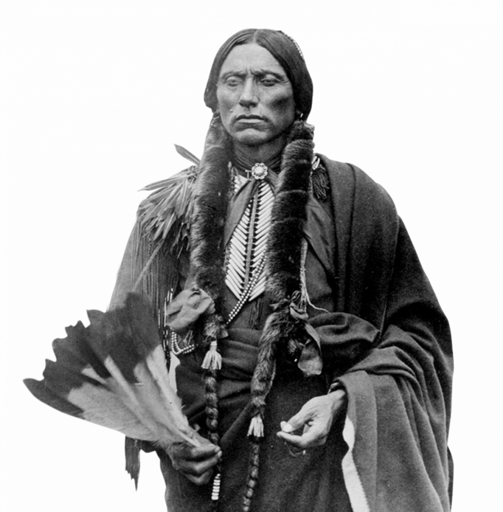
Beyond the formal maps, the museum excels at conveying the Comanche’s own "mental maps" – their deep connection to specific places. Exhibits on buffalo hunting, for instance, don’t just display tools; they illustrate the migratory routes of the bison, the prime hunting grounds that were fiercely defended, and the communal strategies employed. These are maps of sustenance, of survival. Similarly, displays on trade routes highlight the extensive network of alliances and exchanges that linked the Comanche to other tribes and, eventually, to European and American traders. These are maps of commerce and diplomacy, revealing a sophisticated society that was anything but isolated. The story of Quanah Parker, perhaps the most famous Comanche leader, is also deeply spatial. His birth in the Caprock Canyon, his rise to power, his resistance, and his eventual leadership in the reservation era, are all anchored to specific geographical points, transforming the abstract lines on a map into a tangible human drama.

Walking through the museum, I found myself repeatedly returning to the maps, not just as historical documents, but as keys to unlocking a deeper understanding of the artifacts around them. A display of a horse bridle, exquisitely decorated, gains new meaning when viewed in the context of maps showing the vast distances Comanche warriors and hunters traversed. A replica tipi, standing proudly, evokes the mobile villages that dotted the plains, constantly shifting across the landscape shown on those early survey maps. The stories of battles, of diplomacy, of daily life, all become more vivid when you can simultaneously visualize the topography, the rivers, the plains, and the canyons where these events unfolded. The museum masterfully weaves this geographical context into every aspect of its narrative, making the abstract tangible and the distant past intimately present.
But the experience doesn’t end within the museum walls. The true power of "Comanche Nation historical maps" comes alive when you step outside and connect the museum’s lessons to the surrounding landscape. Lawton itself sits on land steeped in Comanche history, and a short drive brings you to sites directly referenced in these historical maps. Foremost among these is Fort Sill, located just a few miles north. Established in 1869, Fort Sill became the focal point for many of the final chapters of the Comanche story. It’s where many Comanche, Kiowa, and Apache leaders surrendered, where they were confined, and where they began the difficult transition to reservation life. Walking the grounds of Fort Sill, you are literally on a point marked on every significant map of the late 19th-century Southern Plains. The post cemetery holds the graves of Quanah Parker and other prominent leaders, a poignant reminder of the lives shaped and reshaped by these mapped territories. The post’s museum offers another layer of historical context, often from a different perspective, but equally essential for a holistic understanding.
Further afield, but still within easy reach, lies the Wichita Mountains Wildlife Refuge. This ancient mountain range, rising dramatically from the plains, holds immense spiritual and historical significance for the Comanche and other Plains tribes. It was a refuge, a hunting ground, and a sacred place. Driving through its rugged terrain, past granite peaks and pristine lakes, one can begin to appreciate the natural features that offered sanctuary and resources to the Comanche for generations. These mountains, too, appear on the earliest European maps, often inaccurately, but always as a prominent landmark. To see them after learning about their importance at the cultural center is to imbue them with a profound sense of history and spirituality. It’s a physical manifestation of the vast, wild, and powerful domain that the Comanche once claimed and fiercely defended. The refuge allows you to experience the wind that swept across their camps, to see the same sky, and to feel a tangible connection to the land that formed the core of their identity.
The Comanche National Museum and Cultural Center, therefore, is not merely a collection of artifacts; it is an interpretive gateway. It takes the abstract concept of "historical maps" and grounds it in human experience, in cultural richness, and in the enduring power of a nation. It challenges the visitor to look beyond the lines and legends of old maps and to see the vibrant tapestry of life, struggle, and resilience they represent. For a traveler, this means more than just a quick stop; it’s an immersive experience that re-educates, inspires, and offers a profound connection to a vital chapter of American history. It encourages you to not just read about the Comanche, but to feel their presence in the very land you stand upon.

My visit solidified a crucial understanding: historical maps are never neutral. They reflect power, perspective, and purpose. The European maps, with their grids and Latin names, sought to impose order and claim territory. The Comanche’s own understanding of their land, passed down through generations, was a dynamic, lived map of resources, spiritual sites, and strategic points. The museum beautifully bridges these two perspectives, allowing visitors to appreciate the devastating impact of colonization while simultaneously celebrating the enduring spirit and cultural richness of the Comanche people. It’s an essential pilgrimage for anyone seeking to understand the true, complex story of the American West, and to trace the powerful, invisible lines of a nation that shaped a continent. To truly appreciate the historical maps of the Comanche Nation, you must visit this place, and then step outside, allowing the landscape itself to become your most profound guide.


