Canyon de Chelly: Where the Land Itself is the Map
The sun dips below the canyon rim, casting long, purple shadows that stretch across the valley floor. Ancient cliff dwellings, carved into the ochre sandstone, glow briefly with a final, warm light before receding into the deepening twilight. The air, crisp and still, carries only the whisper of the wind through cottonwood trees, a sound that has echoed here for millennia. This is Canyon de Chelly National Monument in northeastern Arizona, a place of profound beauty and even profounder history, a place where the very landscape tells a story so rich, it redefines what we understand by the word "map."
Forget the neatly gridded, scale-driven paper maps you unfold in your car or pinch-zoom on your phone. To truly comprehend Canyon de Chelly, you must shed these Western cartographic assumptions. Here, amidst the towering sandstone walls and the meandering washes of Chinle and del Muerto, you are walking on a map that is living, breathing, and etched into the collective memory of its Indigenous inhabitants. This is not a map of boundaries and fixed points, but of relationships, stories, resources, and survival. It is a map understood not by lines on a page, but by the rhythm of footsteps, the changing light, the taste of the water, and the knowledge passed down through generations.
Canyon de Chelly is unique among National Park Service units, co-managed by the NPS and the Navajo Nation, on whose ancestral lands it lies. For over 5,000 years, humans have lived here, from the enigmatic Ancestral Puebloans who built the spectacular cliff dwellings to the Navajo people who call it home today. To enter the canyon floor, you must be accompanied by an authorized Navajo guide, a requirement that immediately shifts your perspective. This isn’t just a scenic drive; it’s an entry into a sacred landscape, guided by those who carry its deep knowledge. Our guide, a soft-spoken Navajo elder, didn’t just point out ruins; he wove narratives around every bend, every rock formation, every patch of hardy desert flora. He spoke of Spider Rock, the 800-foot sandstone spire where, according to Navajo belief, Spider Woman lives, teaching wisdom and weaving the web of life. He spoke of how the sun’s angle at a certain time of year indicated planting seasons, how specific plants provided medicine, and how the ancient trails, now barely visible, connected water sources, hunting grounds, and safe havens. This oral tradition, this living narrative, is a map – a far more comprehensive and nuanced one than any static drawing could ever be.

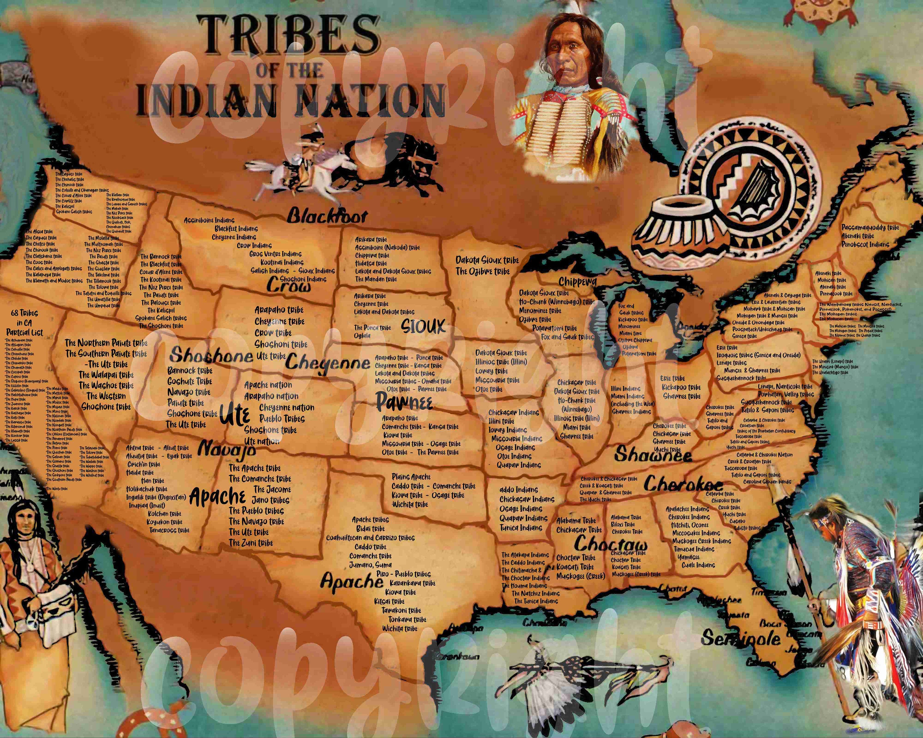
What did Native American maps look like? The answer is as diverse as the hundreds of distinct nations across North America, but common threads emerge, threads vividly illustrated by the experience of Canyon de Chelly. Unlike European maps, which typically aimed for precise, objective representation of space, Native American maps were often highly contextual, functional, and imbued with spiritual and cultural meaning. They weren’t usually made for long-term storage or for defining property lines in the Western sense. Instead, they were often ephemeral: drawn in sand with sticks for immediate navigation, etched onto hides, or even painted on rocks as mnemonic devices. Their purpose was to convey essential information for travel, hunting, gathering, and spiritual journeys, focusing on routes, resources, and significant landmarks rather than abstract scale or cardinal directions.
Imagine the Ancestral Puebloans building White House Ruin, nestled perfectly against the canyon wall, or the intricate structures at Mummy Cave. Their knowledge of this terrain was absolute. They knew where the spring-fed streams flowed year-round, where the sun would hit the canyon floor for optimal farming, where shelter could be found from flash floods or winter winds. This wasn’t just "knowledge"; it was a deeply internalized, shared mental map. Every natural feature – a specific rock overhang, a unique tree, a change in elevation – was a landmark, a waypoint, carrying not just spatial information but also stories of ancestors, warnings of danger, or promises of sustenance. Their mapping was experiential, embodied in their movements and their very being within the landscape. The land was the map, and they were its expert readers.
Our jeep crawled along the sandy wash, the walls rising dramatically on either side. Our guide pointed out a faint indentation in the rock face. "That’s an old trail," he explained. "Our people would climb up there to get to the mesa top. There are still plants up there we use for ceremonies." This detail highlights another aspect of Indigenous mapping: the emphasis on routes and passages. Western maps often prioritize areas and boundaries; Native American maps, particularly those used for travel, often emphasized the journey itself – the pathways, the obstacles, the resources encountered along the way. A river might be represented not as a blue line on a grid, but as a series of rapids, fishing spots, and safe crossing points, each imbued with practical and spiritual significance. The Canyon de Chelly, with its intricate network of trails, ledges, and hidden passages, would have been mapped as a complex web of routes connecting dwelling sites, agricultural plots, and sacred places.
The perspective of these maps also differed. While some might have offered a bird’s-eye view, many were more akin to a narrative sequence, depicting the journey from the traveler’s perspective. Think of a traveler describing a route: "You go past the twin peaks, then down into the valley where the river bends, and you’ll find the berry bushes near the tall rock." This is a map focused on the journey, on what you will experience at each point, rather than a dispassionate, abstract overview. At Canyon de Chelly, as you gaze up at the dizzying heights or down into the chasm, you realize that the canyon walls themselves, with their unique striations and geological features, serve as colossal, natural signposts. Each unique formation is a landmark, a point of reference in a three-dimensional world, understood through years of observation and lived experience.

The profound difference between Indigenous and Western mapping traditions lies in their underlying philosophy. Western cartography, since the age of exploration, has often been tied to notions of ownership, control, and abstraction – making the land knowable and therefore conquerable. Indigenous mapping, conversely, arises from a deep, reciprocal relationship with the land, born of necessity and spiritual connection. It’s about knowing the land intimately for survival, for spiritual well-being, and for maintaining harmony. The map is not separate from the land; it is embedded within it, understood through direct engagement and collective memory.
As the jeep tour concluded and we ascended back to the canyon rim, the vastness of the landscape unfolded beneath us, now seen with different eyes. The trails we couldn’t quite discern from above, the subtle changes in vegetation that signified water sources, the specific angles of the sun on ancient dwellings – all these elements were no longer just random features. They coalesced into a complex, living "map" that the Ancestral Puebloans and the Navajo people have been reading and re-reading for thousands of years.
Visiting Canyon de Chelly is more than just a scenic trip; it’s an education in an entirely different way of understanding the world. It forces you to consider how knowledge of place is created, shared, and preserved. It challenges the very definition of a "map" and invites you to engage with the landscape not as an observer of an inert object, but as a participant in a grand, ongoing narrative. When you walk the paths of Canyon de Chelly, guided by the voices of its living history, you are not just traversing space; you are reading an ancient map, written in stone, wind, and story, a map that reveals the profound wisdom of those who truly belong to the land. And that, perhaps, is the most accurate and beautiful map of all.


