Beyond the Horizon: Exploring Alaska’s North Slope Through Ancient Maps
Forget the glossy brochures and curated itineraries for a moment. Imagine standing on a vast, treeless plain, the wind whipping past your ears, the air so crisp it bites. This isn’t just an empty wilderness; it’s a living landscape, saturated with millennia of human interaction, survival, and profound spiritual connection. To truly "review" a place like Alaska’s North Slope – the colossal, frozen expanse stretching from the Brooks Range to the Arctic Ocean – is to understand it not just geographically, but culturally. And there is no more powerful lens for this understanding than the traditional land use maps of its Indigenous inhabitants, the Inupiat people.
This isn’t a review of a physical map you can buy at a gift shop. It’s a review of an experience, a profound shift in perception that occurs when you begin to see this immense territory through the eyes, knowledge, and history embedded within these vital documents. The "place" being reviewed here is the North Slope itself, but redefined, enriched, and made infinitely more meaningful by the wisdom these maps convey.
The Maps: A Living Atlas of Knowledge

Traditional Inupiat land use maps are far more than cartographic representations. They are oral histories, navigational guides, ecological textbooks, and spiritual chronicles, all interwoven. Developed over thousands of years and passed down through generations, these "maps" often exist not on paper, but in the collective memory of elders, hunters, and families. When transcribed or documented, they reveal an astonishing level of detail and a holistic understanding of the Arctic environment that Western cartography, until recently, could only dream of.
They depict not just mountains and rivers, but seasonal hunting grounds for caribou, muskox, and moose. They mark whaling trails and optimal ice conditions for bowhead whale hunts, reflecting intimate knowledge of currents, ice formations, and marine mammal behavior. Fishing spots for Arctic char and grayling are pinpointed. Gathering areas for specific berries, medicinal plants, and fire-starting materials are identified. Crucially, they include sacred sites, ancestral burial grounds, and storytelling locations where generations have gathered to pass on traditions. Perhaps most strikingly, these maps are rich with Inupiat place names, each one a mini-narrative describing a landscape feature, a historical event, or a resource found there. "Kuukpik" (Great River), "Utqiaġvik" (Place for Gathering Wild Roots) – these names don’t just label, they explain.
The North Slope: A Landscape Transformed by Knowledge
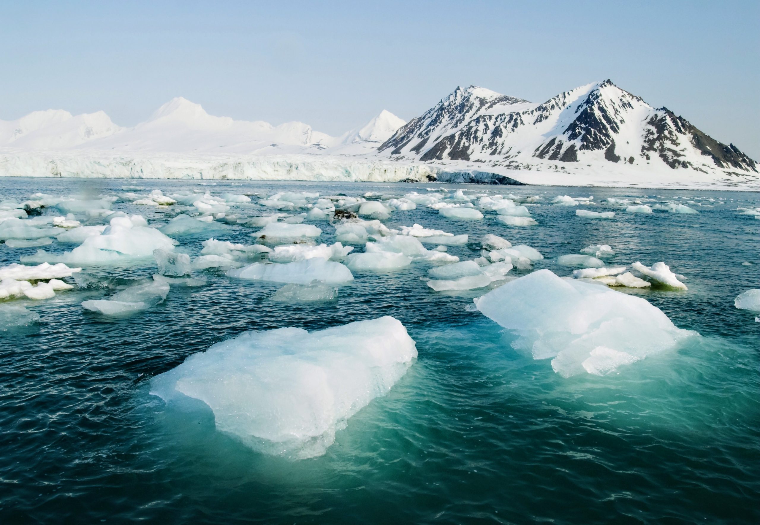
To truly appreciate the North Slope through this lens, one must first confront its sheer scale and stark beauty. This is a land of endless tundra, a mosaic of wetlands, sedges, and dwarf shrubs that explodes with color in the brief summer. Permafrost dominates, shaping the very topography, creating unique features like pingos (ice-cored hills) and thaw lakes. In winter, it transforms into an almost monochromatic world of snow and ice, where the sun may not rise for weeks. It is home to iconic wildlife: vast herds of caribou, elusive polar bears, arctic foxes, and migratory birds that travel thousands of miles to nest here.

Without the context of traditional land use maps, a visitor might see an immense, beautiful, but ultimately "empty" wilderness. The "review" begins when you realize this "emptiness" is a profound illusion.
Imagine trekking across the tundra with an Inupiat guide, their ancestors having walked these very same paths for millennia. What might appear to you as an undifferentiated expanse suddenly becomes a complex tapestry. Your guide points to a subtle depression in the land – "This is where our people would set up camp when the caribou moved through this pass in late summer." A specific cluster of rocks? "That’s a traditional lookout, used for generations to spot migrating whales." The "review" here is one of awe, as the landscape reveals layers of human history and ingenuity previously invisible.
Experiencing the Land: From Tourist to Participant
The transformative power of these maps lies in their ability to turn a passive observation into an active understanding.
-
Navigating the Invisible Routes: When you learn about the traditional caribou migration routes, you don’t just see a herd; you understand the intricate dance between animal, land, and hunter. You grasp the seasonal rhythm of life, the reliance on these animals for sustenance, clothing, and tools. This isn’t just "wildlife viewing"; it’s an appreciation of a sustainable ecosystem maintained through millennia of respectful interaction.
-
The Whaling Legacy: Visiting a coastal village like Utqiaġvik (Barrow) or Nuiqsut, and learning about the traditional whaling grounds mapped out in oral history, is a powerful experience. You understand the incredible bravery, skill, and communal effort involved in a bowhead whale hunt. These aren’t just coordinates; they represent an entire way of life, a deep spiritual connection to the ocean, and a sustainable harvest that feeds entire communities for months. The maps show where the ice typically breaks, where the whales pass, where safe channels can be found – critical knowledge in an unforgiving environment.

-
Place Names as Historical Markers: Every Inupiat place name is a story. To hear a guide explain that a certain hill is called "Kupigruak" (Place of Many Birds) because it was a prime egg-gathering spot, or that a river bend is "Qayaktuq" (Place for Kayaks) where people would launch their skin boats, is to have history etched directly onto the landscape. These names are mnemonic devices, rich with practical information and cultural significance, allowing one to "read" the land in a way a modern GPS never could.
-
Resourceful Living: The maps highlight areas of critical resources. A patch of willows might indicate a source of firewood in a treeless land. A specific tundra plant might be a traditional medicine. Understanding these "resource zones" deepens appreciation for the ingenuity and deep ecological knowledge required to survive and thrive in such a challenging environment. It’s a review of human resilience and adaptability, a testament to living with the land, not just on it.
The Guides: Embodiments of the Maps
Central to this transformative experience are the local Inupiat guides. They are the living embodiment of these traditional land use maps. Their knowledge isn’t theoretical; it’s experiential, passed down from their parents and grandparents. They can point to a feature and not only name it in Inupiaq but tell you the story behind the name, the family who traditionally hunted there, or the particular spiritual significance of that spot. They navigate by a combination of modern tools and ancient wisdom, their eyes constantly scanning for signs in the snow, changes in the ice, or the flight patterns of birds.
Their presence elevates a trip from a mere sightseeing tour to an immersive cultural exchange. They provide context, share personal anecdotes, and offer insights into a world view that prioritizes balance, respect for nature, and community interdependence. The "review" here extends to the incredible privilege of learning directly from those who carry this knowledge.
Challenges and the Future of These Maps
The North Slope and its traditional land use maps face immense challenges. Climate change is rapidly altering the landscape: permafrost thaw destabilizes villages, unpredictable ice conditions threaten subsistence hunting, and shifting animal migration patterns impact traditional food sources. Industrial development, particularly oil and gas extraction, further pressures these fragile ecosystems and the traditional ways of life they support.
In response, Inupiat communities are actively working to preserve, document, and utilize these traditional land use maps and the knowledge they contain. They are being used in land management decisions, environmental impact assessments, and educational programs, ensuring that this invaluable heritage continues to guide future generations. Experiencing the North Slope through this lens is not just a historical journey; it’s an encounter with a vibrant, adapting culture determined to safeguard its future.
The "Review" Conclusion: An Unforgettable Perspective
To review Alaska’s North Slope through the lens of traditional Inupiat land use maps is to embark on a journey of profound discovery. It is to move beyond superficial beauty and penetrate the very soul of a place, understanding its history, its people, and its intricate ecological balance. This isn’t just a trip; it’s a re-education, a humbling lesson in sustainable living and deep ecological knowledge.
The "review" here is of an unparalleled perspective, one that transforms an alien landscape into a deeply familiar, culturally rich homeland. It’s an experience that leaves you with not just photographs, but with a profound respect for Indigenous wisdom, a deeper understanding of human resilience, and a renewed sense of connection to the natural world. If you seek travel that transcends tourism and truly enriches the spirit, then journeying to Alaska’s North Slope and opening your mind to the ancient maps of its people is an essential, unforgettable pilgrimage. It is, without hyperbole, one of the most enriching and perspective-altering travel experiences available on Earth.

