Beyond the Grid: Unpacking the Remarkable Accuracy of Native American Maps
When we picture a map, we likely envision a precise, grid-lined document: lines of latitude and longitude, scale bars, compass roses, and perhaps a legend detailing topography and points of interest. This Western cartographic tradition, rooted in mathematical projection and surveying, has long been the benchmark against which all other mapping systems are measured. But what about the maps that guided generations across continents, through vast wildernesses, and over treacherous terrain long before European explorers arrived? How accurate were Native American maps, and what can their sophisticated systems teach us about understanding and navigating the world?
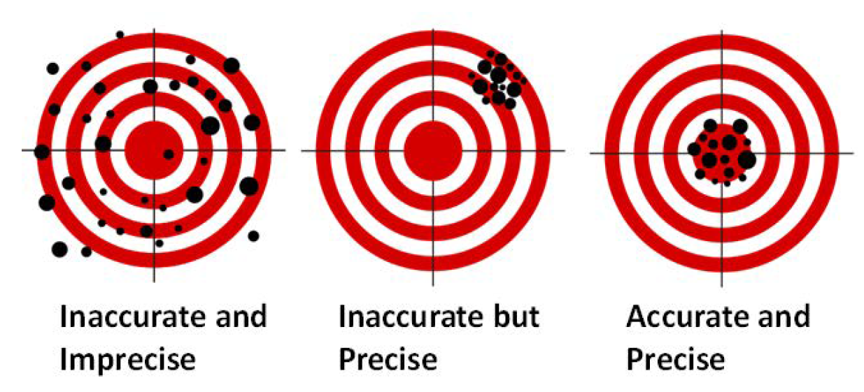
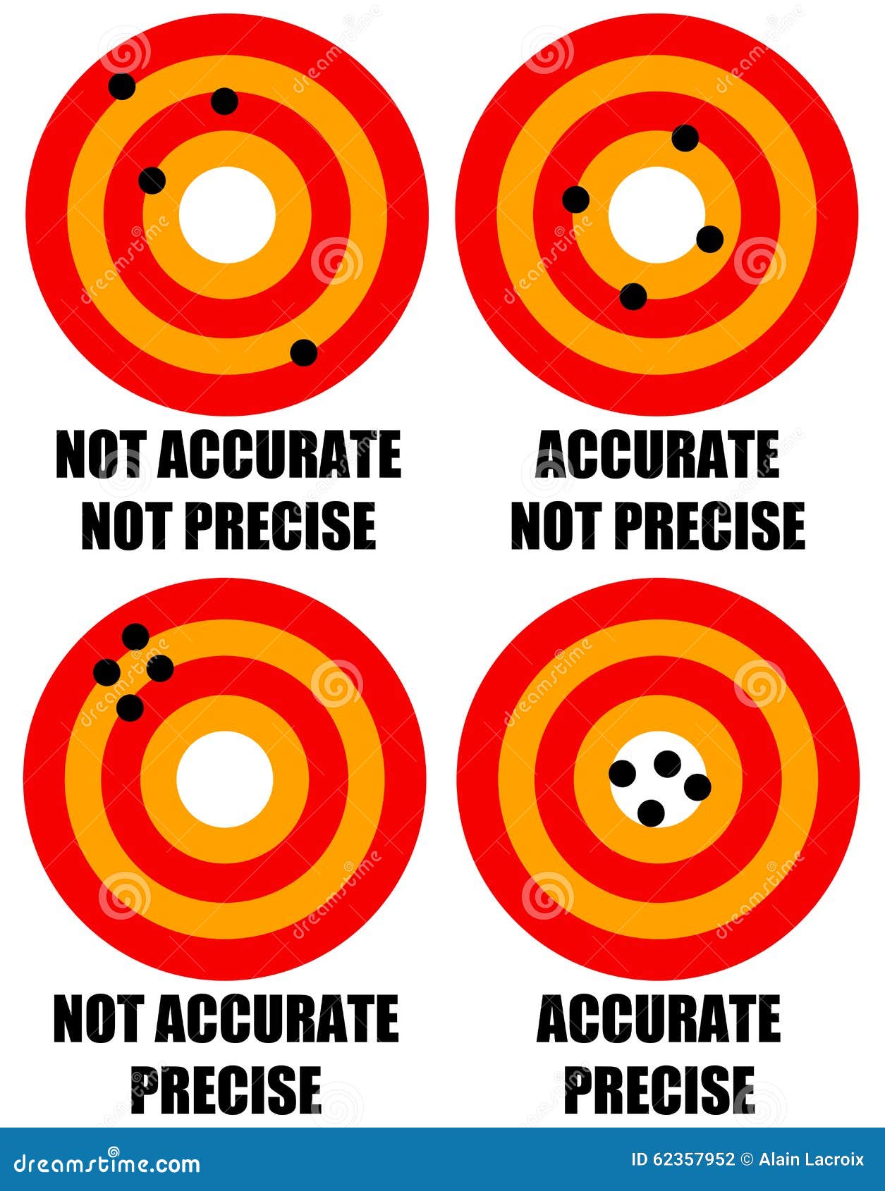
To truly grasp the accuracy of Indigenous maps, we must first liberate ourselves from a strictly Eurocentric definition of "accuracy." For Native American peoples, accuracy wasn’t about precise latitude and longitude or a uniform scale across an entire continent. It was about utility, survival, and relationship. A map was accurate if it allowed you to find water, locate game, avoid enemies, reach a sacred site, or trade successfully. Its precision was measured by its effectiveness in a lived, dynamic environment, not by its conformity to a geometric ideal.
A Spectrum of Cartographic Ingenuity

Native American mapping traditions were incredibly diverse, reflecting the varied landscapes and cultures across the continent. These maps were not static, uniform documents but dynamic, adaptable tools.
-
Oral Maps and Mental Geographies: Perhaps the most widespread and least tangible form of Indigenous mapping was the oral tradition. Generations passed down intricate geographical knowledge through stories, songs, and mnemonic devices. These "mental maps" were incredibly detailed, encompassing not just physical features but also the seasonal cycles of resources, the spiritual significance of places, historical events tied to specific locations, and the best routes for travel. An individual’s mental map was a living document, constantly updated through personal experience and shared knowledge. For a hunter tracking game, a mental map that conveyed the subtle changes in a river’s current, the specific type of tree that indicated nearby water, or the seasonal migration path of buffalo was infinitely more valuable than a fixed paper chart.

-
Ephemeral Maps: Many Indigenous maps were designed for immediate use and were not intended to be permanent. Drawings in sand, dirt, or snow were common, used to quickly convey routes, show the location of resources, or plan movements during discussions. These temporary maps were highly functional, allowing for collaborative creation and easy modification during planning sessions. They were precise in the moment, tailored to the specific question at hand, and then allowed to dissipate, freeing the knowledge to be carried in memory.
-
Durable Maps: More enduring forms also existed.
- Hide Maps: Animal hides, particularly buffalo or deer, served as canvases. These maps often depicted major river systems, mountain ranges, tribal territories, significant trails, and the locations of vital resources. They were often stylized, with rivers represented by lines and circles for settlements or key landmarks. Their accuracy lay in their clear depiction of relative distances and the sequence of features along a route.
- Stick Maps (e.g., Inuit): In the Arctic, Inuit peoples developed remarkable three-dimensional stick maps. Carved from wood, these tactile maps represented coastlines, islands, and navigation hazards, often incorporating currents and ice conditions. They were designed to be read by touch, making them invaluable for navigating in white-out conditions or darkness. Their accuracy was literally a matter of life and death in a challenging environment.
- Rock Carvings (Petroglyphs): While many petroglyphs are artistic or ceremonial, some clearly function as maps, indicating water sources, trails, or astronomical alignments that could aid navigation.
- Wampum Belts: While primarily used for recording treaties, historical events, and social contracts, some wampum belts incorporated patterns that could convey geographical information, particularly in the context of agreements over land or travel routes.


The Ultimate Test: Guiding European Explorers
The most compelling evidence for the accuracy of Native American maps comes from the journals and accounts of early European explorers. Time and again, expeditions that set out with only European-made charts quickly found themselves lost, starving, and disoriented. Their salvation almost invariably came from Indigenous guides and the maps they drew or described.
The Lewis and Clark Expedition (1804-1806) stands as a monumental testament to Indigenous cartographic accuracy. Lewis and Clark’s initial maps of the vast American West were rudimentary at best, filled with vast blank spaces and speculative features. Their entire journey of discovery was fundamentally reliant on the geographical knowledge provided by Native American nations.
- The Mandan and Hidatsa: During their winter encampment near present-day Bismarck, North Dakota, Lewis and Clark spent months gathering intelligence. Chiefs of the Mandan and Hidatsa nations drew detailed maps in the dirt, on hides, and on paper provided by the Americans. These maps accurately depicted the Missouri River’s course far upstream, the location of the Rocky Mountains (which Europeans had vastly underestimated in distance), the presence of the Great Falls of the Missouri, and the territories of various tribes. They even accurately described the portage routes around the falls. Without this information, Lewis and Clark would have been hopelessly lost.
- Sacagawea’s Role: Sacagawea, the Shoshone woman who accompanied the expedition, was not just an interpreter but a living, walking map. Her knowledge of the Shoshone lands, her ability to identify landmarks, and her understanding of the people and resources were invaluable. She guided them through her homeland, pointed out edible plants, helped identify safe routes, and crucially, recognized features that confirmed they were on the right path to meet the Shoshone, who provided horses vital for crossing the Bitterroot Mountains.
- Old Toby (Tukepah): When the expedition finally met the Shoshone, their chief, Old Toby (Tukepah), drew a map on a large white elk hide, depicting the rivers, mountain passes, and the best route through the formidable Bitterroots. His map, combined with his direct guidance, was instrumental in allowing the corps to cross the mountains, a feat that nearly broke them. Lewis and Clark explicitly noted the accuracy of these Indigenous maps in their journals, often marveling at their detail and precision compared to their own crude estimates.
These instances were not isolated. Throughout North America, from the frozen reaches of the Arctic where Inuit navigators used stick maps to guide through complex ice floes, to the Pacific Northwest where coastal tribes charted intricate fishing grounds, Indigenous maps consistently proved their accuracy for the purposes they served. Spanish, French, and British explorers also frequently relied on Indigenous knowledge to map new territories, locate resources, and establish trade routes. Often, European maps were direct transcriptions of Indigenous information, albeit stripped of their cultural context and often credited solely to the European recorder.
The "Why" Behind the Differences in Perspective
The perceived "accuracy" gap between Indigenous and European maps often stems from fundamental differences in worldview and purpose:
- Purpose: European maps were largely instruments of conquest, ownership, and resource extraction. They sought to fix land boundaries, establish grids for settlement, and delineate political control. Native American maps, conversely, were tools for living within a landscape, facilitating movement, resource gathering, and understanding relationships between people and place.
- Dynamic vs. Static: European maps aimed for a static, unchanging representation of the land. Indigenous maps often embraced dynamism, reflecting seasonal changes, shifting resources, or the recent movements of tribes. A river’s course might be drawn differently depending on the time of year and water levels, reflecting its practical utility rather than a fixed geometric form.
- Perspective: Many Indigenous maps were "egocentric" or "route-focused," drawn from the perspective of a traveler moving through the landscape. They prioritized the sequence of landmarks and the relative distances along a path. European maps are typically "allocentric" or "bird’s-eye," presenting a detached, overhead view. Both are accurate, but in different ways. An egocentric map is incredibly accurate for someone on the ground trying to get from point A to point B.
- Memory and Oral Tradition: Indigenous societies cultivated extraordinary memory and oral transmission skills. Geographical knowledge wasn’t just stored on a piece of paper; it was embedded in the collective consciousness, reinforced through stories, ceremonies, and direct experience. This made their "maps" incredibly robust and adaptable.
Relevance for the Modern Traveler
As travelers, understanding the accuracy and sophistication of Native American maps offers a profound shift in perspective. It challenges our own biases about what constitutes "real" knowledge and encourages a deeper appreciation for Indigenous wisdom.
When we visit a national park, hike a trail, or paddle a river, we often do so with a GPS device or a modern topographic map. But imagine navigating that same landscape with a mental map, guided by the memory of a river’s bend, the distinctive shape of a mountain peak, the presence of certain plants, or the stories of ancestors who traversed that very ground for millennia.
Recognizing the accuracy of these traditional systems isn’t just an academic exercise; it’s an invitation to connect with places on a more profound level. It encourages us to look beyond the superficial, to seek out the layers of history and knowledge embedded in the land. It fosters respect for the enduring legacy of Indigenous peoples, whose cartographic genius allowed them not just to survive, but to thrive across the vast and varied landscapes of North America.
Conclusion
The question of how accurate Native American maps were is not just about lines on a page or marks in the sand. It’s a question about epistemology, about how different cultures perceive, understand, and interact with their world. By any practical measure – the ability to navigate, find resources, avoid danger, and connect communities – Indigenous maps were astonishingly accurate. They were living, breathing documents, imbued with the knowledge of generations, meticulously observed details, and a profound respect for the land.
As we traverse the landscapes that Native Americans knew intimately, let us carry with us not just our modern navigation tools, but also an awareness of the sophisticated, accurate, and culturally rich maps that existed long before ours. Let us see the rivers, mountains, and plains not just as features on a GPS, but as elements of an ancient, living geography, charted by minds whose accuracy was measured not by a grid, but by the very pulse of life itself.
