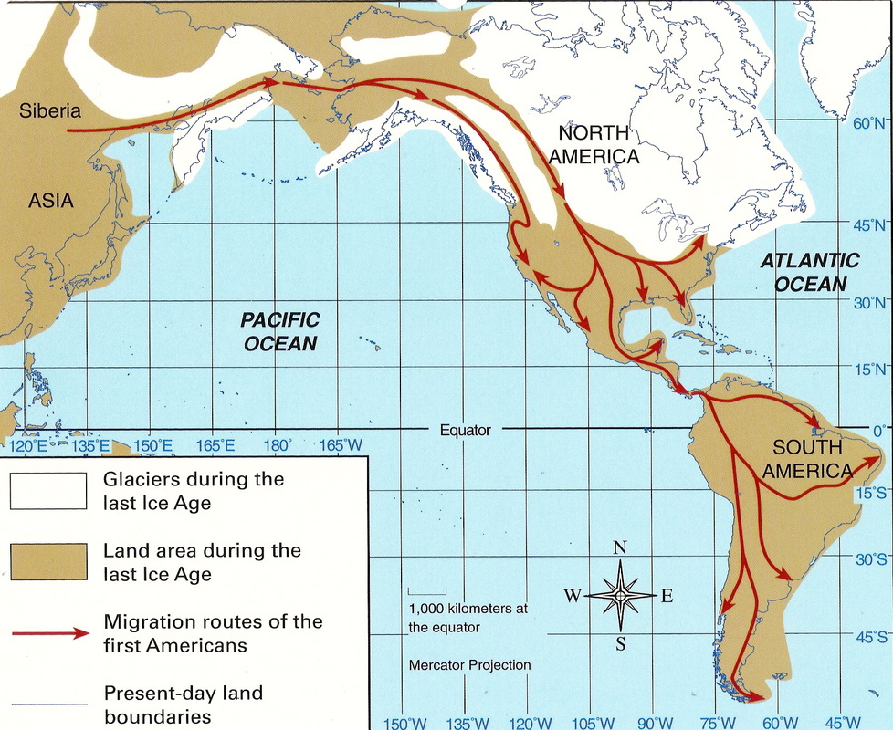
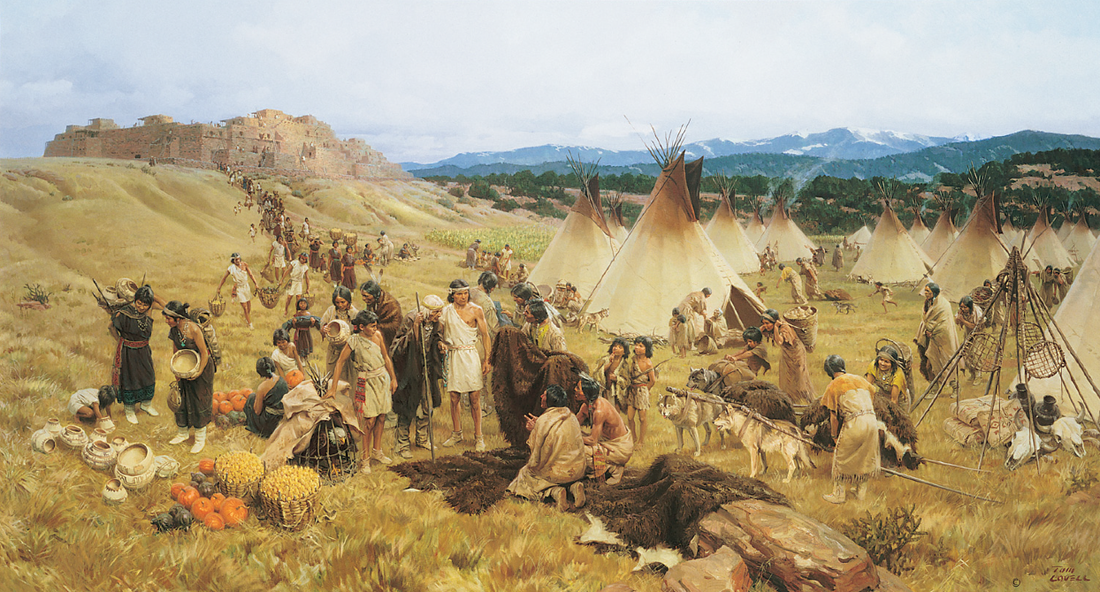
Beyond the Grid: Navigating the Ancient Wisdom of Native American Maps in the American Southwest
Forget your GPS, ditch the digital maps, and prepare to see the land with an entirely different set of eyes. For millennia, the Indigenous peoples of North America navigated, understood, and communicated their world through a sophisticated array of mapping techniques that transcended parchment and compass. Far from being primitive, these methods were deeply integrated with their spiritual beliefs, practical needs, and profound ecological knowledge. As a traveler seeking genuine connection with the land, understanding how Native Americans mapped their territories isn’t just an academic exercise; it’s a transformative lens through which to experience the American Southwest.
This isn’t a review of a single, static map hanging in a museum, but rather a guide to how the entire landscape of the American Southwest – from its soaring mesas to its hidden canyons – can be "read" as a living, breathing map, created and interpreted by its original inhabitants. It’s a review of the experience of understanding this ancient wisdom while traveling through one of the most culturally and geographically rich regions on Earth.
The Southwest: A Living Atlas

The American Southwest, encompassing parts of Arizona, New Mexico, Utah, Colorado, Nevada, and California, is an ideal classroom for this exploration. Its dramatic, diverse topography – deserts, mountains, rivers, and plateaus – demanded intimate knowledge for survival and thriving. The Ancestral Puebloans, Navajo, Hopi, Apache, Ute, Zuni, and countless other nations developed distinct yet often overlapping mapping strategies tailored to their environments and cultures.
What makes this region so compelling for understanding Native American mapping is the sheer longevity of human presence and the visible traces left behind. Here, you can literally walk the ancient paths, see the petroglyphs, and experience the same sun-drenched vistas that guided generations.
Mapping Beyond Paper: A Holistic Approach
Unlike European cartography which aimed for abstract, birds-eye grids, Native American mapping was often experiential, narrative, and deeply personal. It wasn’t just about "where," but "how to get there," "what you’ll find," and "what it means."

1. The Power of Oral Tradition and Memory:
The primary "maps" were held in the minds of the people, passed down through generations via stories, songs, ceremonies, and detailed oral instructions. These weren’t mere anecdotes; they were mnemonic devices encoded with precise geographical information: water sources, safe passages, seasonal foraging areas, sacred sites, and ancestral migrations.
- The Traveler’s Experience: When you visit places like Canyon de Chelly National Monument (Navajo Nation, Arizona) or Bandelier National Monument (New Mexico), try to imagine the stories that would have accompanied journeys through these lands. A Navajo guide might recount tales of the Hero Twins, whose adventures are tied to specific rock formations, effectively mapping the landscape with cultural narrative. Listening to the wind whisper through the canyons, you begin to understand how the land itself becomes a repository of memory, a living map etched into the collective consciousness. Engaging with tribal interpreters at these sites can offer unparalleled insights into this oral cartography.

2. Physical Markers and Ephemeral Maps:
While not always durable, physical representations were crucial for instruction and immediate navigation.
-
Sand and Stick Maps: Often drawn on the ground with sticks, stones, or sand, these ephemeral maps were used to guide hunters, warriors, or those embarking on trade expeditions. They were practical, interactive, and easily modified. Imagine a hunter demonstrating the best route to a distant game trail, tracing the contours of the land in the dirt.

- The Traveler’s Experience: While you won’t see these actively being made today for mapping purposes, understanding this tradition helps you appreciate the practicality of the landscape. When hiking in places like Goblin Valley State Park (Utah) or the Valley of Fire State Park (Nevada), where unique rock formations serve as natural landmarks, you can visualize how these features would have been incorporated into such ground maps, making a complex landscape understandable.
-
Cairns and Trail Markers: Simple piles of stones, or intentionally placed branches, served as crucial waypoints along ancient trade routes and pilgrimage paths.
- The Traveler’s Experience: Many hiking trails in national parks like Zion or Arches still utilize cairns, albeit for modern trail marking. Reflecting on their ancient origins can transform a simple hike into a connection with centuries of foot traffic. These humble markers represent an enduring, universal language of navigation.
3. Rock Art: Petroglyphs and Pictographs as Cartographic Records:
Across the Southwest, rock walls are adorned with thousands of petroglyphs (carvings) and pictographs (paintings). While many depict spiritual beings, animals, or abstract symbols, others clearly function as maps, astronomical charts, or records of journeys.
- The Traveler’s Experience: This is perhaps the most tangible and awe-inspiring aspect of Native American mapping for the modern traveler.
- Petroglyph National Monument (New Mexico) offers thousands of ancient carvings, some of which are thought to denote water sources or directional cues.
- At Newspaper Rock State Historic Monument (Utah) or Valley of Fire (Nevada), you can stand before rock panels that depict migration routes, astronomical alignments (like the famous "Sun Dagger" at Chaco Canyon, which marked solstices), and resource locations.
- Visiting these sites is like stepping into an ancient library where the walls themselves tell stories of place and passage. Pay attention not just to individual symbols but to their arrangement and orientation within the landscape. The very rock canvas often dictated the flow of information.
4. Hide, Bark, and Textile Maps:
While less common due to preservation challenges, some Native American groups created more durable maps on materials like animal hides, tree bark, or woven textiles. These often depicted larger territories, trade routes, or significant events.
- The Traveler’s Experience: While you’re unlikely to find original examples in the wild, museums in the Southwest often house excellent reproductions or ethnographic examples. The Smithsonian’s National Museum of the American Indian (Washington D.C., but its collections cover all of North America) or local tribal museums (like the Museum of Northern Arizona in Flagstaff, or the Indian Pueblo Cultural Center in Albuquerque) can provide context. Seeing these artifacts helps to bridge the gap between ephemeral ground maps and more permanent records, demonstrating a versatile approach to cartography.
5. Astronomical Observations as Navigational Tools:
For many Indigenous cultures, the sky was as much a map as the land. The movements of the sun, moon, and stars guided seasonal activities, spiritual ceremonies, and directional travel. Solar calendars etched into rock, like the "Sun Dagger" at Chaco Culture National Historical Park (New Mexico), demonstrate sophisticated understanding of celestial mechanics.
- The Traveler’s Experience: Visiting sites like Chaco Canyon during the solstices or equinoxes (though requiring advanced planning and luck) offers a profound connection to ancient astronomical mapping. Even without precise timing, simply observing the sky at night from a remote location in the Southwest, far from city lights, allows you to appreciate the vast, unchanging celestial map that guided generations. Imagine navigating by the position of the Big Dipper or the rising of a particular star cluster, tying your movements directly to the rhythm of the cosmos.
How to "Review" the Southwest Through This Lens: A Traveler’s Guide
To truly "review" the American Southwest through the lens of Native American mapping is to embark on a journey of re-perception.
1. Slow Down and Observe: Resist the urge to rush from one landmark to another. Instead, pause. Look at the subtle changes in elevation, the direction of water flow (even dry washes), the types of plants, and the presence of animal trails. These were all vital cues for ancient navigators.
2. Seek Out Cultural Centers and Tribal Parks: Places like Monument Valley Navajo Tribal Park (Arizona/Utah), Hopi Cultural Center (Arizona), or the Acoma Pueblo (New Mexico) offer direct engagement with contemporary Indigenous communities. Guides from these nations can share perspectives that no textbook can. Their stories often weave the landscape into a cultural fabric that reveals its true "map."
3. Visit Ancestral Sites with an Open Mind: At Mesa Verde National Park (Colorado), Hovenweep National Monument (Utah), or the ruins scattered throughout Canyonlands National Park, consider not just the structures themselves, but their placement within the broader landscape. Why was this cliff dwelling built here? What resources were nearby? How did its inhabitants move through their territory? The architecture itself becomes a spatial map of their understanding of their world.
4. Engage with Interpretive Programs: National Parks and Monuments often have excellent ranger-led talks and exhibits that delve into Indigenous history and land use. Ask specific questions about traditional navigation and resource management.
5. Read and Learn Before You Go: Arm yourself with knowledge about the specific tribes whose ancestral lands you’re visiting. Understanding their histories, languages, and spiritual connections to the land will deepen your appreciation for their mapping techniques. Books like "Maps of the Imagination" by Peter T. Menzel or "Living Maps: Culture and Cartography in the Americas" offer academic insights, but even general histories of the region will provide context.
The Profound Impact
By embracing the principles of Native American mapping, your travel through the American Southwest transforms from a series of disconnected sights into a profound, interconnected experience. You begin to understand that the land is not merely scenery but a dynamic entity, full of stories, wisdom, and purpose.
This approach teaches respect – for the land itself, for the deep knowledge of its original inhabitants, and for the enduring legacy they have left behind. It encourages a shift from passively consuming landscapes to actively engaging with them, listening to their ancient whispers, and perhaps, in a small way, re-mapping your own understanding of place and belonging. So, next time you plan a trip to the Southwest, remember to pack your curiosity, an open heart, and leave your conventional maps behind – the land itself is waiting to guide you.
