Unveiling the Arapaho World: A Journey Through Historical Distribution Maps
To gaze upon a historical distribution map of the Arapaho people is to peer into a dynamic tapestry of movement, adaptation, and resilience. Far from static lines on a modern atlas, these maps are living documents, charting the ebb and flow of a vibrant Native American culture across the heartland of North America. For travelers seeking deeper understanding and history enthusiasts keen on indigenous narratives, these cartographic representations offer an invaluable gateway into the Arapaho’s profound connection to land, their rich identity, and the dramatic arc of their historical journey. This exploration dives directly into the significance of these maps, unraveling the story of the Arapaho from their ancient origins to their contemporary presence.
The Genesis of a People: Early Migrations and Algonquian Roots
The story of the Arapaho on the maps begins long before the arrival of Europeans, in a landscape vastly different from the high plains they would later call home. Linguistic evidence is the primary cartographer of their earliest known movements. The Arapaho language belongs to the Algonquian family, a vast linguistic group primarily associated with the Great Lakes region and the eastern woodlands. This connection suggests a profound eastward origin, placing their ancient ancestors far from the central plains.

Early historical distribution maps, often speculative but based on linguistic and archaeological findings, depict a slow, deliberate westward migration. Driven by environmental changes, resource availability, and intertribal pressures, small bands of proto-Arapaho speakers began their westward trek, a journey that likely spanned centuries. This initial movement was transformative, gradually shifting their cultural practices from a woodland-based existence to one increasingly adapted to the vast prairies. These early maps highlight a crucial aspect of Native American history: constant movement and adaptation, challenging the notion of fixed, ancient territories for all tribes. The "Arapaho" as we know them today were forged on this long journey, their identity shaped by the very act of migration.
The Horse Revolution and the Golden Age of the Plains Arapaho
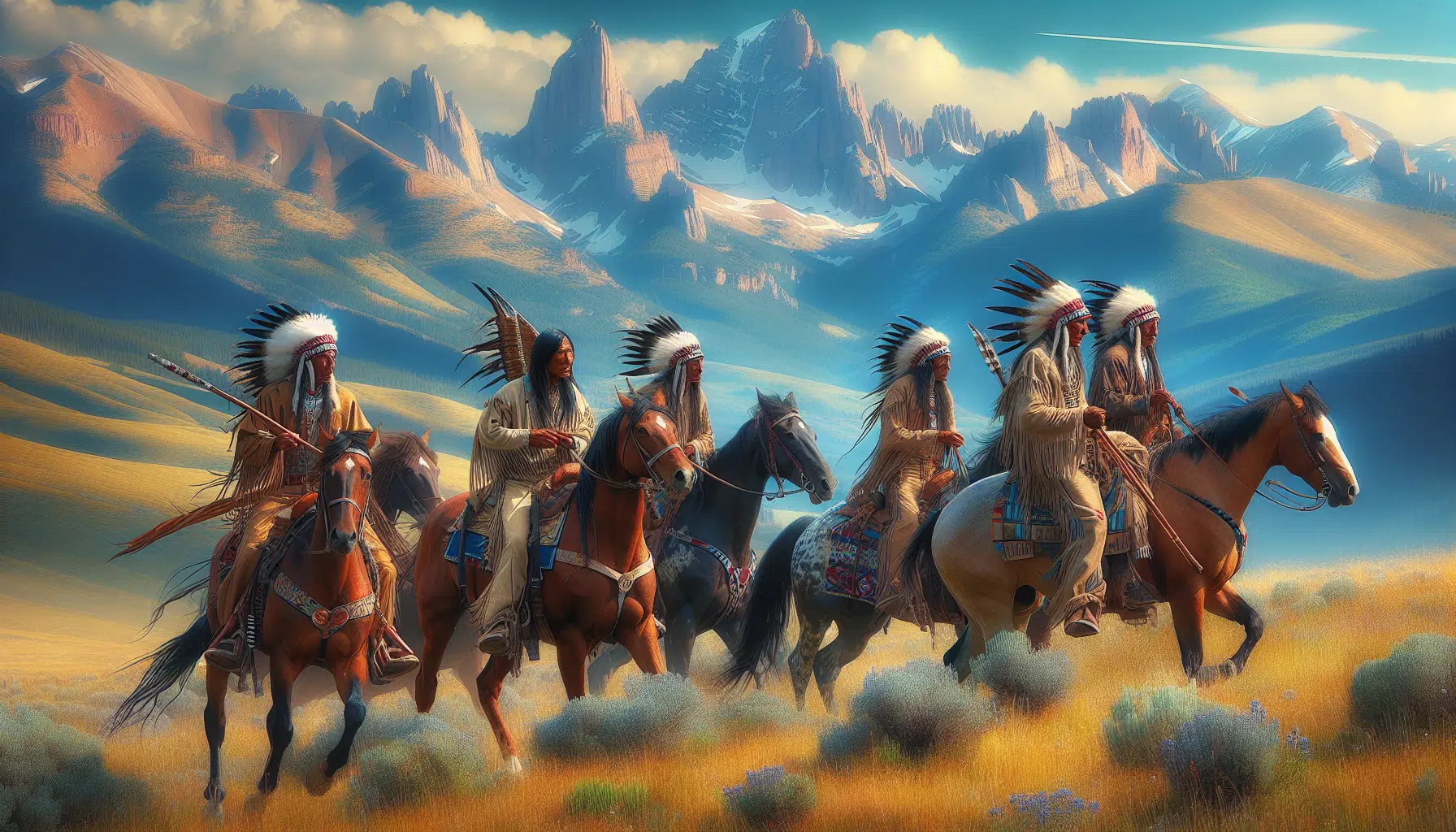
The arrival of the horse, introduced by the Spanish in the American Southwest, marked the most significant cultural and geographical pivot point for the Arapaho. By the early 18th century, horses had reached the Arapaho, revolutionizing their way of life. Maps from this period dramatically expand the perceived range of the Arapaho. No longer constrained by foot travel, they rapidly transitioned into highly mobile, expert equestrian buffalo hunters. This era, often referred to as the "Golden Age" of the Plains tribes, saw the Arapaho thrive.
Their territory expanded exponentially, encompassing vast stretches of what is now eastern Colorado, southeastern Wyoming, western Kansas, and southwestern Nebraska. These maps illustrate not just a larger area, but a different kind of territory – one defined by seasonal movements tracking the immense buffalo herds. The Arapaho became masters of the plains, their teepees dotting the landscape, their hunting parties ranging far and wide.

During this period, the Arapaho developed deep alliances, most notably with the Cheyenne, but also maintained complex relationships, sometimes friendly, sometimes hostile, with neighbors like the Lakota, Kiowa, Comanche, and Ute. The maps of this time would show overlapping hunting grounds, shared sacred sites, and intricate trade routes that connected them to distant tribes. It was also during this period that the Arapaho began to solidify into distinct Northern and Southern divisions, largely due to geographic separation and the practicalities of managing vast hunting territories and different sets of intertribal relationships. The Northern Arapaho concentrated more in Wyoming and northern Colorado, while the Southern Arapaho ranged further south into Kansas and Oklahoma. These divisions, initially practical, would later become formalized by treaties and reservation placement, profoundly shaping their modern identity.
Mapping a Dynamic Landscape: Seasonal Movements and Resource Use
Unlike European concepts of rigid, surveyed borders, Arapaho territory was defined by a living relationship with the land. Historical distribution maps, particularly those that attempt to illustrate pre-contact or early contact eras, reveal a complex, seasonal pattern of occupation. These maps show not static lines, but areas of primary use, seasonal migrations, and zones of shared access.
In winter, Arapaho bands would seek shelter in the foothills of the Rocky Mountains or along wooded river valleys, where timber and natural protection from the harsh plains blizzards were available. Maps would depict their winter camps along the Cache la Poudre, South Platte, and Arkansas rivers. With the spring thaw, the bands would disperse onto the open plains, congregating in larger numbers for communal buffalo hunts in the summer, often in areas like the Republican River basin or the high plains of Wyoming. These movements were dictated by the buffalo, the lifeblood of their existence, providing food, shelter, clothing, and tools.

Beyond hunting, maps would also show sacred sites – places for vision quests, ceremonies, and spiritual renewal. These locations, often specific mountains, rock formations, or springs, were integral to Arapaho identity and their understanding of the world. Trade routes, connecting the Arapaho to agricultural tribes to the east and Pueblo peoples to the southwest, would also crisscross their territory, illustrating their role in a vast indigenous economic network. These maps, when properly interpreted, convey a nuanced understanding of territory as a dynamic, resource-based, and spiritually imbued landscape, rather than a mere geopolitical boundary.
The Incursion: European-American Expansion and Treaty Eras
The mid-19th century brought an irreversible shift, dramatically altering the maps of Arapaho distribution. The relentless westward expansion of European-American settlers, fueled by the Oregon Trail, the California Gold Rush, and later the Pike’s Peak Gold Rush in Colorado, brought an unprecedented influx of people directly through Arapaho lands. Maps of this era begin to show new lines – trails, stagecoach routes, and nascent settlements – cutting through established indigenous territories.
The U.S. government’s response to these conflicts was a series of treaties, designed to "contain" or "remove" Native American tribes from lands coveted by settlers. The Treaty of Fort Laramie in 1851 was a pivotal moment. While it ostensibly recognized vast hunting grounds for the Arapaho and Cheyenne, it also introduced the concept of "territorial limits" and laid the groundwork for future land cessions. Maps illustrating this treaty show a designated, albeit still extensive, Arapaho-Cheyenne territory, but the very act of defining it marked the beginning of its fragmentation.
Subsequent treaties, often signed under duress and rarely honored by the U.S. government, systematically carved away vast tracts of ancestral lands, reducing the Arapaho’s domain to ever-shrinking parcels. The Treaty of the Little Arkansas in 1865 and the Fort Laramie Treaty of 1868 further diminished Arapaho lands, pushing the Northern Arapaho towards the Wind River Reservation and the Southern Arapaho towards Indian Territory (present-day Oklahoma). Maps from this era starkly illustrate this profound loss, transforming broad sweeps of territory into isolated dots on a page – a visual representation of dispossession and forced concentration.
Conflict, Displacement, and the Shattering of Maps

The period of American expansion was also one of intense conflict. As settlers encroached, buffalo herds dwindled, and treaty promises were broken, tensions erupted into warfare. Maps documenting these conflicts would highlight military campaigns, battle sites, and the desperate attempts of the Arapaho to defend their homelands.
Perhaps no event illustrates the brutal impact of this era more vividly than the Sand Creek Massacre of November 29, 1864. Maps of the Colorado Territory at this time would show the relatively small designated reserve for the Southern Cheyenne and Arapaho on Sand Creek. Under the leadership of Chief Black Kettle, a band of peaceful Cheyenne and Arapaho had gathered there, under the impression they were under the protection of the U.S. Army. However, Colonel John Chivington’s Colorado militia attacked the encampment, slaughtering over 150 unarmed men, women, and children. The Sand Creek Massacre was not just a horrific act of violence; it was a profound act of betrayal that shattered any lingering trust and ignited further decades of warfare on the Plains.
Following Sand Creek and other conflicts, the U.S. government intensified its policy of forced removal and concentration. Maps began to depict the Arapaho confined to ever-smaller reservations. The free-ranging life that had defined Arapaho identity for centuries was brutally curtailed. The maps of this period are maps of confinement, of lost freedom, and of a people pushed to the brink of cultural and physical annihilation.
The Contemporary Landscape: Reservation Life and Enduring Identity
Today, the historical distribution maps culminate in the present-day locations of the Arapaho people. The Northern Arapaho are located on the Wind River Reservation in west-central Wyoming, sharing the land with the Eastern Shoshone. The Southern Arapaho, along with the Southern Cheyenne, form the Cheyenne and Arapaho Tribes in western Oklahoma.
Modern maps showing these reservations, while representing a fraction of their ancestral domain, are not simply symbols of loss. They are also powerful symbols of resilience and survival. Despite immense pressures, forced assimilation policies, and the challenges of reservation life, the Arapaho have maintained their distinct cultural identity.
Travelers visiting these areas today will find vibrant communities dedicated to preserving their language, ceremonies, and traditions. Educational centers, cultural events, and tribal governments actively work to ensure the continuity of Arapaho heritage. The maps of today serve as a reminder of a powerful history – a testament to a people who adapted, resisted, and endured. When we look at the dots on the map that represent their reservations, we are not just seeing land; we are seeing the living heart of a people connected by generations to a vast, ancestral landscape, now condensed but never forgotten.
Conclusion: Maps as Storytellers of Identity
Historical distribution maps of the Arapaho are more than mere geographical markers; they are profound storytellers. They narrate a sweeping epic of ancient migrations, the revolutionary impact of the horse, the sophisticated seasonal rhythms of a plains people, and the tragic consequences of colonial expansion. They chart the journey of a resilient people who adapted to new environments, forged powerful alliances, and endured immense hardship.
For anyone traveling through the vast landscapes of the American West, or for those simply seeking a deeper understanding of history, these maps offer a crucial lens. They invite us to look beyond the paved roads and modern towns to imagine the vibrant, dynamic world that once was, and to appreciate the enduring spirit of the Arapaho people. Understanding these maps means understanding not just where the Arapaho were, but who they are – a people whose identity remains deeply intertwined with the land, its history, and the powerful stories etched into its very contours.
