The Map as a Narrative: Unpacking the Yavapai-Apache Nation Reservation
The Yavapai-Apache Nation Reservation map is far more than a mere geographical outline; it is a complex tapestry woven from centuries of history, resilience, and profound cultural identity. For any traveler or history enthusiast seeking to understand the true essence of Arizona’s Verde Valley, this map serves as an indispensable guide, not just to places, but to stories – stories of displacement and return, of distinct peoples forging a shared future, and of an enduring connection to the land that transcends arbitrary lines. This article delves into the layers of meaning embedded within the Yavapai-Apache Nation’s reservation map, exploring its historical genesis, the rich identities it represents, and its significance in the contemporary world.
The Geography of Memory and Resilience
At first glance, the map of the Yavapai-Apache Nation Reservation reveals a series of non-contiguous parcels of land, primarily nestled along the Verde River near the towns of Camp Verde and Clarkdale, Arizona. This fragmented appearance is not an accident of nature but a stark historical artifact, a visual testament to the arduous journey of two distinct peoples—the Yavapai and the Apache—who were forcibly brought together by federal policy and subsequently forged a unified identity. The main parcels include the Camp Verde Reservation (containing the tribal government, casino, and most of the population), the Clarkdale/Middle Verde Reservation, and the Rimrock/Tunnel Camp Reservation.
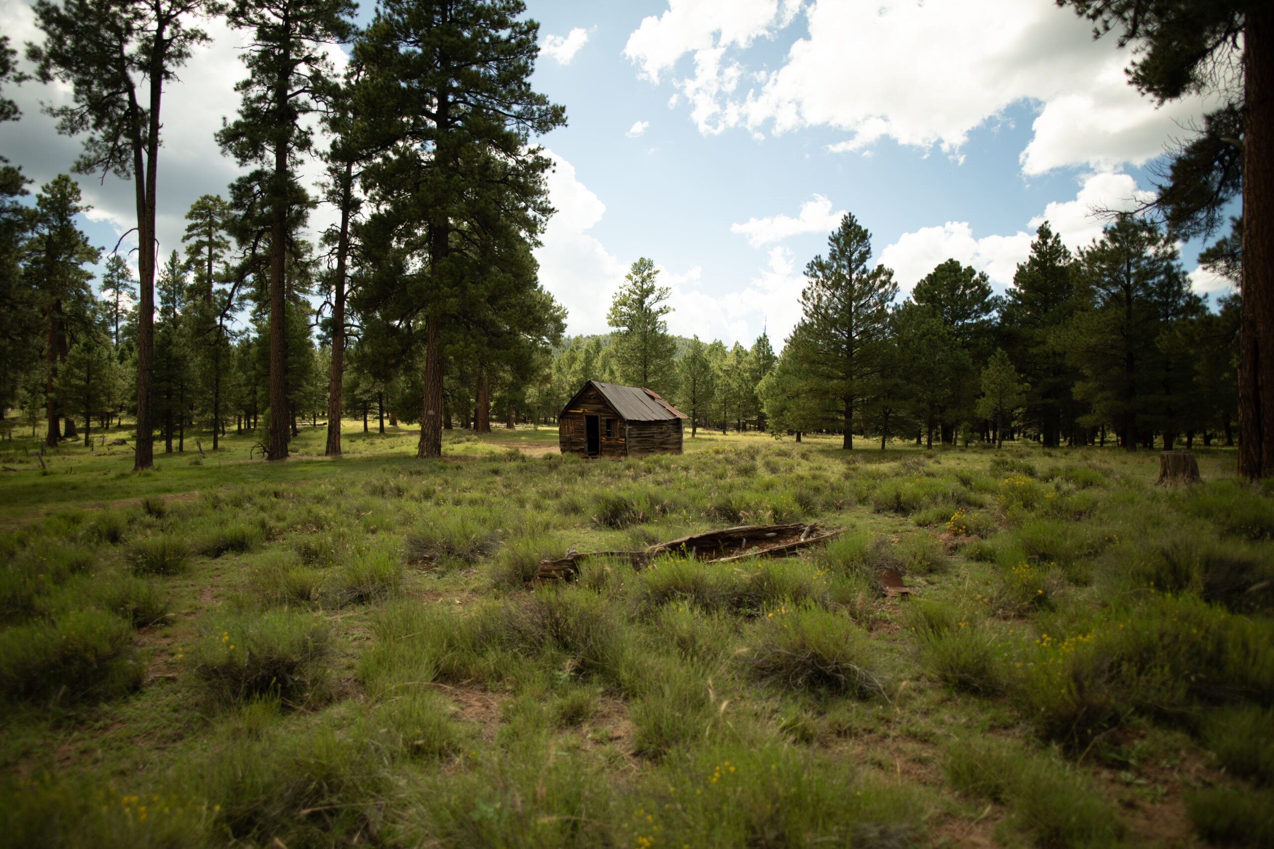
These seemingly disparate pieces of land are, in fact, interconnected by an invisible network of cultural memory, ancestral trails, and the life-giving flow of the Verde River. The river, a shimmering blue vein cutting through the ochre landscape, is not just a water source but a sacred entity, a witness to generations of life, ceremony, and struggle. The map’s lines delineate the legal boundaries of the Nation, but the spiritual and historical territory extends far beyond, encompassing the majestic Black Hills, Mingus Mountain, and the very air of the Verde Valley that has echoed with Yavapai and Apache languages for millennia.
A Tale of Two Peoples: Yavapai and Apache Identities
To understand the map is to understand the two foundational identities it represents. The Yavapai, meaning "People of the Sun," are ethnically Yuman-speaking people, closely related to the Hualapai and Havasupai. Historically, they occupied vast territories across central and western Arizona, divided into distinct bands such as the Western Yavapai (Tolkepaya), Northeastern Yavapai (Kwevkepaya), and Southeastern Yavapai (Wipukpaya). Their traditional lands stretched from the Colorado River to the east of the Verde River, characterized by a semi-nomadic existence, hunting, gathering, and small-scale agriculture.
The Apache, specifically the Tonto Apache (part of the Western Apache group), are Athabaskan-speaking people, whose ancestral lands were located primarily in east-central Arizona, extending into the Verde Valley. Their history is marked by formidable warrior traditions, deep spiritual connections to specific mountain ranges, and a sophisticated understanding of their environment for survival. While often grouped together by outsiders, the Apache and Yavapai maintained distinct cultures, languages, and territories, though they sometimes formed alliances or engaged in conflict.
The map of the Yavapai-Apache Nation Reservation, therefore, doesn’t just show land; it symbolizes the convergence of these two powerful, independent narratives into a shared future. It represents a unique identity, forged in the crucible of shared adversity and a common commitment to cultural preservation.
The Scars of History: Displacement and the Fight for Land
The seemingly disjointed nature of the reservation on the map is a direct consequence of 19th-century American expansion and federal Indian policy. Prior to the arrival of American settlers, both Yavapai and Apache peoples thrived in the Verde Valley, their lives intrinsically linked to its resources. However, the discovery of gold, the influx of miners and ranchers, and the strategic importance of the Verde Valley led to increasing conflict.
The 1860s and 1870s saw a brutal period of Indian Wars in Arizona. Both Yavapai and Apache were subjected to a series of forced removals, often under dire conditions. A significant event was the establishment of the Camp Verde Reservation in 1871, intended to concentrate the Yavapai and Tonto Apache. However, this reservation was short-lived. In 1875, in one of the most infamous forced marches in Arizona history, approximately 1,500 Yavapai and Tonto Apache were marched over 180 miles in the dead of winter from Camp Verde to the San Carlos Apache Reservation, a place alien to many and already overcrowded. Many perished from starvation, exposure, and disease along the way.
This act of profound injustice left an indelible mark. Yet, the people’s connection to their ancestral lands remained unbroken. Over the next two decades, small groups of Yavapai and Apache began to surreptitiously return to the Verde Valley, seeking to reclaim their homeland. They lived in poverty, working for meager wages on ranches and farms, but their presence slowly became undeniable.
The fragmented parcels on the map are a testament to this arduous return. The current reservation lands were pieced together through a series of executive orders and land purchases, often in small, disparate tracts. The Camp Verde Reservation, for instance, was re-established through an Executive Order in 1910, but initially comprised only 40 acres. Over subsequent decades, land was added, sometimes through tribal purchases, sometimes through federal allocation, creating the mosaic seen on today’s map. This piecemeal re-acquisition underscores the persistent struggle for land and sovereignty that defined much of the 20th century for the Yavapai-Apache Nation.
The Map as a Living Document: Culture and Sovereignty
Today, the map of the Yavapai-Apache Nation Reservation is not just a historical document but a living blueprint for cultural revitalization and self-determination. Within its boundaries, the Nation operates as a sovereign government, exercising jurisdiction over its lands and people. The tribal headquarters, located on the Camp Verde parcel, symbolize this autonomy, housing the tribal council and administrative offices.
The preservation of cultural identity is paramount. The map delineates areas where traditional practices are sustained, where the Yavapai and Apache languages, though endangered, are taught and celebrated. Sacred sites, often unmarked on public maps but deeply revered within the community, exist throughout and beyond the reservation boundaries, connecting the people to their ancestors and the spiritual heart of the land. The Verde River, a central feature of the map, remains vital for agriculture, ceremonies, and sustenance, just as it has for thousands of years.
Educational initiatives, cultural centers, and language programs are housed within the reservation’s borders, ensuring that the unique heritage of both Yavapai and Apache peoples continues to thrive. The annual Exodus Commemoration, a solemn remembrance of the 1875 forced march, is a powerful example of how history is kept alive, not as a static event, but as a living memory that informs the present and guides the future.
Economic Development and Modern Challenges
The map also illustrates the Nation’s strategic efforts in economic development, crucial for supporting its people and exercising self-determination. The most prominent feature on many modern maps associated with the reservation is the Cliff Castle Casino Hotel, a significant economic engine located on the Camp Verde parcel. This enterprise provides employment, funds essential tribal services like healthcare, education, and housing, and allows the Nation to invest in its future. Other economic ventures, such as agriculture (including grape cultivation for local wineries), retail, and tourism, are also situated within the reservation’s economic landscape.
Despite these successes, the map also subtly hints at ongoing challenges. The fragmentation of the land can complicate resource management, infrastructure development, and the provision of services. Like many Indigenous nations, the Yavapai-Apache Nation faces the complexities of balancing traditional values with modern economic demands, addressing issues of poverty, healthcare disparities, and educational attainment. Yet, the very existence of the reservation on the map, and the vibrant life within it, is a testament to an enduring spirit of innovation and adaptation.
For the Traveler and History Enthusiast: A Deeper Engagement
For the discerning traveler or history enthusiast, understanding the Yavapai-Apache Nation Reservation map transforms a scenic visit into a profound educational experience. It encourages looking beyond the picturesque landscapes of the Verde Valley – the red rocks, the flowing river, the clear Arizona sky – to see the human story etched into every contour.
When navigating the Verde Valley, consider the map not just for directions, but as an invitation to engage respectfully and thoughtfully. Recognize that each parcel of land represents a hard-won victory, a piece of ancestral territory reclaimed. Support tribal businesses, visit cultural centers (like the Fort Verde State Historic Park, which tells part of the story, or tribal cultural initiatives), and learn about the Nation’s contemporary life. Respect the sovereignty of the Yavapai-Apache Nation and the privacy of its residents.
The map asks us to acknowledge that the history of this land is not just in textbooks but is alive in the people, their language, their ceremonies, and their ongoing stewardship of the environment. It challenges us to see the Verde Valley not as an empty backdrop for tourism, but as a vibrant homeland with a deep, complex, and still unfolding narrative.
Conclusion: A Map of Enduring Spirit
The map of the Yavapai-Apache Nation Reservation is a profound artifact. It is a geographical representation of a land base, but more significantly, it is a narrative of identity, a chronicle of historical trauma and triumph, and a symbol of an unyielding spirit. It speaks of the distinct Yavapai and Apache peoples, their forced convergence, and their enduring commitment to forging a unified future on their ancestral lands. For those who seek to understand the true heart of Arizona, this map is an essential key – unlocking not just locations, but a powerful, living history that continues to shape the present and inspire the future of the Yavapai-Apache Nation. It is a testament to the power of resilience, the strength of culture, and the enduring connection between people and their sacred land.
