The Choctaw Nation’s Historical Lands: A Map of Resilience and Identity in Mississippi
A map of the Choctaw Nation’s historical lands in Mississippi is far more than a mere geographical representation; it is a profound historical document, a testament to enduring identity, and a stark visual narrative of sovereignty, survival, and profound loss. For anyone seeking to understand the deep roots of Native American culture in the American South, or to truly appreciate the landscape they traverse, this map offers an indispensable portal into a past that continues to shape the present. It’s a journey not just through space, but through centuries of human experience, ideal for the discerning traveler and history enthusiast.
The Ancestral Domain: Pre-Colonial Mississippi
Before the arrival of Europeans, the Choctaw, known as Chahta in their own language, inhabited a vast and fertile territory stretching across much of what is now central and southern Mississippi, and parts of western Alabama. This was their homeland, a place where their ancestors had thrived for millennia, long before any lines were drawn on European maps. Archaeological evidence, particularly the numerous ancient mounds scattered throughout the region – remnants of the Mississippian culture – points to a sophisticated, agricultural society with complex social structures, extensive trade networks, and a deep spiritual connection to the land.

Their territory was bounded by natural features: the Mississippi River to the west, the Pearl and Tombigbee Rivers to the east, and various tributaries like the Yazoo and Big Black Rivers crisscrossing their domain. These waterways were not just geographical markers but vital arteries for transportation, sustenance, and cultural exchange. The Choctaw lived in permanent settlements, cultivating vast fields of corn, beans, and squash, and managing the rich forests for hunting deer, bear, and other game. Their society was organized into distinct districts or "mounds," each with its own leadership, but united by common language, culture, and a shared sense of nationhood. This pre-contact map, largely unrecorded by outsiders, existed powerfully in their oral traditions, their spiritual beliefs, and their everyday lives – a map of memory, lineage, and belonging.
European Encounters and Shifting Borders
The first significant European contact for the Choctaw came with the French in the late 17th century. Unlike the Spanish who passed through quickly in the 16th century, the French established trading posts and formed alliances, primarily in an effort to counter British influence in the region. The Choctaw, already a powerful and numerous nation, became a crucial player in the geopolitical struggles between France, Great Britain, and later Spain.
The Choctaw’s strategic location and formidable military strength meant they could, for a time, negotiate from a position of power. Early European maps, often drawn with an incomplete understanding of the interior, nonetheless began to delineate Choctaw territory, albeit with varying accuracy. These early lines were often based on treaties of friendship and trade, or simply on the known extent of Choctaw dominance. However, these alliances also introduced new pressures: European diseases decimated populations, and the fur trade entangled the Choctaw economy, leading to a gradual shift from self-sufficiency to reliance on European goods.

As the balance of power in North America shifted, particularly after the French and Indian War (Seven Years’ War), Great Britain gained control of the territory. The Choctaw, adapting to new realities, continued to assert their sovereignty. However, the seeds of land dispossession had been sown, and the concept of their vast, communal lands being reduced to defined, negotiable parcels began to take hold in the European imagination.
The American Republic: Treaties of Cession and the Shrinking Map
The true onslaught on Choctaw lands began in earnest after the American Revolution, with the insatiable westward expansion of the United States. The young American republic viewed the fertile lands of Mississippi as prime territory for cotton cultivation and white settlement, and the Choctaw, despite being a sovereign nation, stood in the way.
A series of treaties, often negotiated under duress, political manipulation, and outright coercion, began to systematically carve away Choctaw territory. Each treaty represents a significant redrawing of the map, shrinking the Choctaw domain piece by painful piece:

- Treaty of Hopewell (1786): One of the earliest, establishing boundaries between the Choctaw and the United States, but already asserting U.S. authority over some lands.
- Treaty of Fort Adams (1801): Ceded a small but strategically important parcel of land along the Mississippi River, primarily for a road and a military post.
- Treaty of Mount Dexter (1805): Ceded a large tract of land between the Tombigbee and Pearl Rivers, marking a significant loss of eastern lands.
- Treaty of Fort St. Stephens (1816): Ceded another section of eastern lands.
- Treaty of Doak’s Stand (1820): A massive cession of approximately five million acres, encompassing much of central Mississippi. In exchange, the Choctaw were offered lands in what is now Oklahoma (then Arkansas Territory), a precursor to the forced removal. This treaty marked a critical turning point, as it explicitly linked land cessions in Mississippi to resettlement in the West.
- Treaty of Washington City (1825): Further refined boundaries and ceded additional lands.

Each of these treaties, when overlaid on a historical map, reveals a chilling narrative: the once expansive, unbroken territory of the Choctaw systematically reduced, cornered, and diminished. The vibrant green of their ancestral domain slowly but inexorably eaten away by the advancing red lines of American expansion. For the Choctaw people, these weren’t just lines on a map; they were sacred hunting grounds, ancestral burial sites, homes, and the very fabric of their cultural existence, being torn away.
The Treaty of Dancing Rabbit Creek and the Trail of Tears
The final, most devastating blow came with the Treaty of Dancing Rabbit Creek in 1830. This treaty, signed under immense pressure and amid the backdrop of the Indian Removal Act passed earlier that year, forced the Choctaw to cede their remaining traditional lands in Mississippi – over 10 million acres – to the United States. It was the largest land cession in U.S. history up to that point. The treaty stipulated that the Choctaw Nation would relocate to Indian Territory (present-day Oklahoma) within three years.
This event initiated the infamous Trail of Tears for the Choctaw, who were the first of the "Five Civilized Tribes" to undergo forced removal. Between 1831 and 1833, thousands of Choctaw men, women, and children were forcibly marched or transported west, enduring unimaginable hardships, disease, starvation, and exposure. An estimated 2,500 of the 12,500 who migrated perished during the journey. The map of this period shows not only the final, complete erasure of their lands in Mississippi but also the arduous, death-ridden routes leading to an unknown future in the West. It is a map of profound human suffering and governmental betrayal.
The Enduring Presence: The Mississippi Band of Choctaw Indians
Crucially, the story of the Choctaw in Mississippi does not end with the Treaty of Dancing Rabbit Creek and the Trail of Tears. While the vast majority were removed to Oklahoma, a significant number – estimated to be around 5,000 – refused to leave or managed to remain in Mississippi, often by exploiting loopholes in the treaty or simply by hiding in the swamps and forests. These individuals and families faced immense discrimination, poverty, and landlessness. They were denied citizenship, education, and basic rights in their own ancestral homeland.
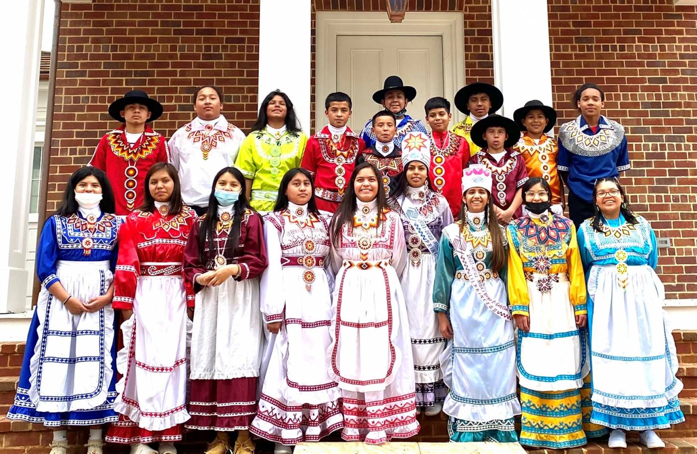
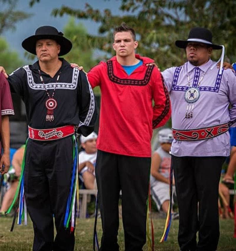
Yet, they persevered. Against all odds, they maintained their language, cultural traditions, and community ties. Over generations, they slowly began to rebuild. In 1945, this resilient community achieved federal recognition as the Mississippi Band of Choctaw Indians (MBCI), establishing a sovereign nation within the state of Mississippi.
For the MBCI, the historical map of Choctaw lands in Mississippi takes on an even deeper meaning. It represents not just a lost past, but a continuous spiritual and cultural claim to their ancestral territory. Their current tribal lands, though significantly smaller than their original domain, are located within the heart of their traditional territory. These lands are not merely tracts of property; they are the physical embodiment of their survival, their resistance, and their enduring identity. They serve as a powerful reminder that despite the lines drawn by treaties and the forces of removal, the spirit of the Choctaw Nation never truly left Mississippi.
The Map as a Living Document: Travel, Education, and Identity
Today, a map of the Choctaw Nation’s historical lands in Mississippi serves multiple vital functions:
- Educational Tool: It provides an undeniable visual lesson in American history, particularly regarding indigenous sovereignty, land rights, and the devastating impact of Manifest Destiny. It challenges romanticized notions of westward expansion and brings to light the systemic injustices faced by Native peoples.
- Cultural Anchor: For the Choctaw people, both in Oklahoma and Mississippi, this map is a powerful symbol of their heritage, their unbroken connection to their ancestors, and the enduring strength of their identity. It reminds them of where they came from and the resilience that defines them.
- Traveler’s Guide: For the modern traveler and history enthusiast, this map transforms the landscape of Mississippi. It encourages a deeper, more respectful engagement with the land. Driving through the state, one can mentally overlay the ancient Choctaw paths and settlements, understanding that beneath the highways and farmlands lie centuries of Choctaw history. Visiting sites like the Nanih Waiya Mound (a sacred site considered the "Mother Mound" of the Choctaw people) becomes a profound pilgrimage, connecting directly to the heart of Choctaw identity and origin stories. Other historical markers or state parks within the traditional Choctaw domain gain new significance when viewed through this lens.
The Choctaw Nation’s historical lands in Mississippi are not just an archaeological curiosity or a faded memory; they are a vibrant, living testament to a people who have faced immense challenges and emerged with their culture and identity intact. The map, therefore, is not merely a record of what was lost, but a celebration of what endures: the spirit, the history, and the unwavering presence of the Choctaw people in their ancestral homeland. To truly understand Mississippi, and indeed American history, one must first understand the story etched into this powerful, poignant map.
