Beyond the Beaches: Navigating the Ancestral Landscape of Hawaiʻi
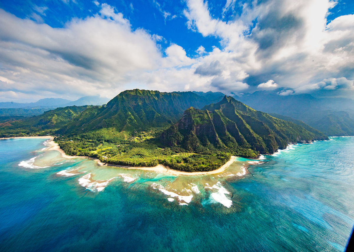
Hawaiʻi, often perceived as an idyllic paradise of sun-drenched beaches and lush volcanic landscapes, holds a profound depth far beyond its tourist-brochure facade. Beneath the veneer of resorts and recreational activities lies a living, breathing ancestral landscape – an indigenous map etched not just on parchment, but into the very identity, history, and spirit of its Native people, the Kānaka Maoli. For the discerning traveler and history enthusiast, understanding this indigenous map is not merely an academic exercise; it is an essential journey into the soul of Hawaiʻi, transforming a vacation into a truly meaningful and respectful cultural immersion. This article delves into the intricate layers of this indigenous map, exploring its historical roots, its deep connection to Kānaka Maoli identity, and its enduring relevance in contemporary Hawaiʻi.
The Indigenous Map: More Than Lines on Paper
To speak of an "indigenous map" in Hawaiʻi is to transcend the conventional understanding of geography. It is not a static document but a dynamic narrative, a spiritual and cultural blueprint that defines the relationship between the Kānaka Maoli and their ancestral lands and waters – ʻāina and kai. This map embodies generations of knowledge, sustainable practices, sacred sites (wahi pana), and the intricate social structures that once governed the islands.
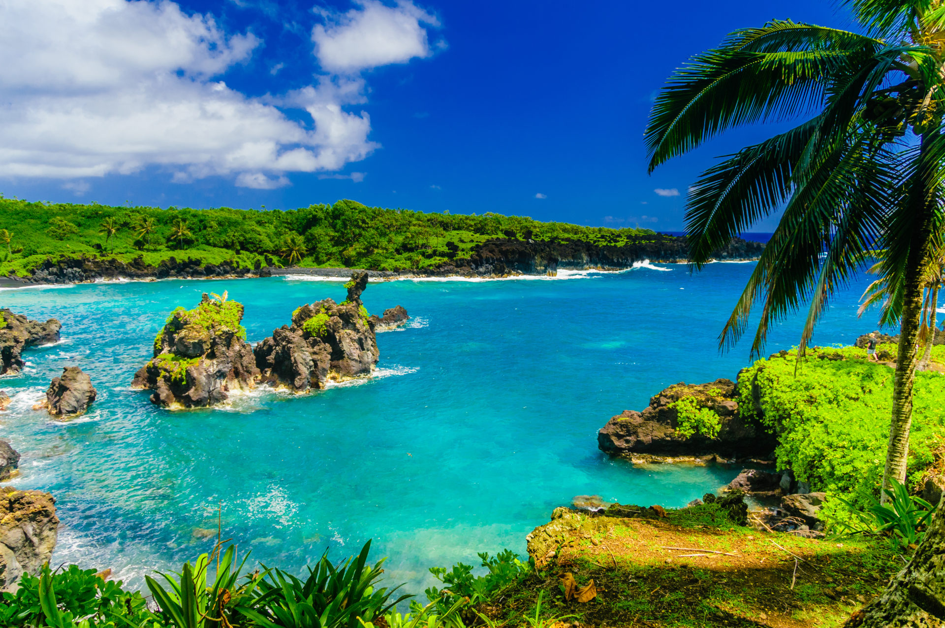
At its heart lies the ahupuaʻa system, a sophisticated land division model that predates Western contact. Each ahupuaʻa was a wedge-shaped land parcel, typically extending from the mountain summits (mauka) to the ocean reef (makai). This ingenious system ensured self-sufficiency and sustainable resource management, allowing communities to access everything they needed: fresh water from mountain streams, agricultural lands for kalo (taro) and other crops, forests for timber and medicinal plants, and coastal areas for fishing and salt production. The ahupuaʻa was not just a territorial boundary; it was a community, a living ecosystem managed by the aliʻi (chiefs) and makaʻāinana (commoners) in harmonious balance, guided by the principles of mālama ʻāina (to care for the land) and lokahi (unity).
This indigenous map is also deeply spiritual. Every mountain, valley, waterfall, and stretch of ocean holds stories, chants (oli), and genealogies that connect the Kānaka Maoli directly to their ancestors and the gods. The land is not merely property; it is a relative, a source of life, and a repository of mana (spiritual power). Understanding this foundational connection is the first step in appreciating the profound significance of Hawaiʻi’s indigenous map.
Deep Roots: The Polynesian Voyagers and Early Settlement
The story of the Kānaka Maoli begins thousands of years ago with the intrepid Polynesian navigators who embarked on epic voyages across the vast Pacific Ocean. Using sophisticated knowledge of stars, currents, and swells, these master wayfinders sailed from ancestral homelands, often referred to as Hawaiki, eventually discovering and settling the remote Hawaiian archipelago. This migration was not a random drift but a deliberate, planned expansion, carrying with them not only essential plants and animals but also their rich culture, language (ʻŌlelo Hawaiʻi), social structures, and spiritual beliefs.
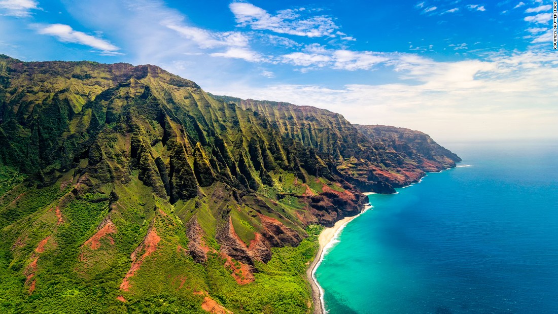
Upon arrival, the early settlers adapted to the unique Hawaiian environment, developing a thriving society that would endure for centuries. They engineered vast loʻi kalo (taro patches), intricate fishponds (loko iʻa), and sophisticated irrigation systems, demonstrating an unparalleled understanding of their environment. Society was structured around a complex kapu (taboo) system, governed by aliʻi (chiefs) who traced their lineage to the gods, and supported by kahuna (priests) and the industrious makaʻāinana.
This era saw the development of the foundational elements of Kānaka Maoli identity: a deep reverence for nature, a strong sense of community (ʻohana), and a rich oral tradition that preserved history, genealogy, and spiritual knowledge. The Kumulipo, a sacred creation chant, details the origins of the universe, life, and the Hawaiian people themselves, serving as a profound ancestral map of their place in the cosmos. These ancient roots form the bedrock upon which the entire indigenous map is built, shaping the very definition of who the Kānaka Maoli are and their enduring connection to these islands.
The Unification and the Kingdom: Mapping Power and Identity
By the late 18th century, the Hawaiian Islands were divided into warring chiefdoms. This era of intense competition culminated in the rise of Kamehameha I, a visionary aliʻi from Hawaiʻi Island, who, through strategic alliances, military prowess, and the acquisition of Western weaponry, unified the islands under a single kingdom by 1810. This was a monumental achievement, establishing a centralized government and a defined political entity known as the Hawaiian Kingdom.
The creation of the Kingdom brought a new dimension to the indigenous map. While the ahupuaʻa system continued to govern local land use, the Kingdom now encompassed all the islands under a unified sovereignty. Kamehameha and his successors navigated the complex waters of early Western contact, establishing diplomatic relations with major world powers, codifying laws, and even adopting a written language. They successfully defended the Kingdom’s independence for decades, a testament to their political acumen and the strength of the Hawaiian nation (Lāhui).
During this period, the indigenous map began to encounter the influences of Western mapping and property concepts. While Hawaiian land tenure traditionally centered on stewardship and shared access, Western notions of private property slowly began to infiltrate. This clash of worldviews would prove to be a critical turning point in the fate of the Hawaiian people and their ancestral lands.
The Tides of Change: Western Contact and the Erosion of Sovereignty
The arrival of Captain James Cook in 1778 marked the beginning of a rapid and often devastating transformation for Hawaiʻi. While initial interactions brought new technologies and trade, they also introduced foreign diseases against which the Kānaka Maoli had no immunity, decimating the population. Missionaries followed, bringing new religious beliefs that challenged traditional spiritual practices and the kapu system, fundamentally altering the social fabric.
The most profound impact on the indigenous map, however, came with the introduction of Western land ownership concepts. In 1848, the Great Mahele (division) was enacted, ostensibly to protect the land for the Hawaiian people but ultimately leading to its widespread privatization. This revolutionary act allowed for the division of land into three categories: Crown Lands (for the monarch), Government Lands, and Konohiki Lands (managed by chiefs), with a provision for commoners to claim kuleana (tenant) lands. However, many commoners, unfamiliar with Western legal concepts and land surveying, failed to file claims, and much of the land eventually ended up in the hands of foreign businessmen and sugar planters. This effectively shattered the traditional ahupuaʻa system and severed the communal connection to ʻāina.
The economic landscape shifted dramatically with the rise of the sugar industry, which required vast tracts of land and imported labor. Foreign economic power grew, leading to political influence. This culminated in the infamous Bayonet Constitution of 1887, which stripped the monarch of much of her power and disenfranchised many Native Hawaiians.
The ultimate blow came on January 17, 1893, when a group of American and European businessmen, supported by the U.S. Marines, illegally overthrew the sovereign Hawaiian Kingdom, imprisoning Queen Liliʻuokalani. Despite widespread protests from the Hawaiian people and international condemnation, the United States annexed Hawaiʻi in 1898, incorporating these lands – including the former Crown and Government Lands, now referred to as "ceded lands" – into its territory without the consent of the Kānaka Maoli. This act effectively erased the political boundaries of the indigenous map and marked a period of profound cultural suppression, as the Hawaiian language was banned in schools and traditional practices were discouraged. The indigenous map, once a vibrant depiction of a sovereign nation, became a symbol of dispossession and loss.
Reclaiming the Narrative: Modern Identity and Sovereignty Movements
For decades following annexation and subsequent U.S. statehood in 1959, the Kānaka Maoli faced immense pressures to assimilate. However, the spirit of aloha ʻāina (love of the land and country) never died. The late 20th century witnessed a powerful Hawaiian cultural renaissance, a reawakening that sought to reclaim and revitalize the indigenous map in all its dimensions.
Central to this movement has been the revitalization of the Hawaiian language (ʻŌlelo Hawaiʻi). From a near-extinct language, it has experienced a remarkable resurgence through immersion schools, university programs, and community efforts, ensuring that the unique worldview and ancestral knowledge embedded within the language are preserved. Hula, traditional chants, and ancient navigation techniques, exemplified by the voyaging canoe Hōkūleʻa, have also been brought back to prominence, connecting contemporary Hawaiians directly to their cultural roots and the skills of their ancestors.
The political struggle for self-determination and sovereignty has also gained momentum. Organizations and activists have tirelessly worked to address the historical injustices, including the illegal overthrow and the loss of ceded lands. Legal battles continue over the management of these lands, which comprise nearly 1.8 million acres across the archipelago, including many significant cultural and natural resources. Movements for federal recognition, self-governance, or even full independence reflect the diverse aspirations of the Kānaka Maoli to restore their inherent right to determine their own future and manage their ancestral lands according to their own values.
For the Kānaka Maoli, the indigenous map today represents not only their history but also their future. It is a map of resilience, resistance, and the ongoing fight for justice, cultural preservation, and environmental stewardship. It is a testament to an identity deeply rooted in the land, a connection that can never be fully severed.
For the Traveler: Responsible Engagement with the Indigenous Map
For visitors to Hawaiʻi, understanding this complex history and the enduring significance of the indigenous map is crucial for responsible and respectful travel. Beyond the typical tourist attractions, there is an opportunity to engage with Hawaiʻi in a way that honors its Native people and their culture.
- Educate Yourself: Before and during your trip, take the time to learn about Hawaiian history, culture, and current issues. Seek out books, documentaries, and reputable online resources from Kānaka Maoli perspectives.
- Support Local, Hawaiian-Owned Businesses: Direct your tourism dollars towards businesses that are owned and operated by Kānaka Maoli. This supports the local economy and helps perpetuate cultural practices and entrepreneurship. Look for authentic crafts, food, and experiences.
- Respect the Land and Sea: Practice mālama ʻāina (care for the land). Stay on marked trails, do not disturb natural habitats, and be mindful of your environmental footprint. Respect kapu (sacred or forbidden) areas. Understand that many natural sites, like Mauna Kea, are deeply sacred to Native Hawaiians.
- Learn Basic Hawaiian Phrases: A simple "Aloha" (hello/love), "Mahalo" (thank you), and "E komo mai" (welcome) shows respect and appreciation for the local language.
- Seek Authentic Cultural Experiences: Instead of packaged luaus, look for opportunities to learn about hula, oli (chanting), traditional crafts, or sustainable farming practices from Kānaka Maoli practitioners. Visit cultural centers and museums that tell the story from an indigenous perspective.
- Be an Informed Visitor: Understand that issues like land development, water rights, and the future of Mauna Kea are not just political debates; they are deeply personal struggles for the Kānaka Maoli, tied directly to their ancestral lands and identity. Engage with these topics with an open mind and a respectful attitude.
Conclusion
The indigenous map of Hawaiʻi is a powerful, multifaceted entity. It is a historical record of migration and settlement, a blueprint of sustainable living, a testament to a unified kingdom, and a stark reminder of colonial injustice. Most importantly, it is a living document, constantly being rewritten and reclaimed by the Kānaka Maoli, whose identity remains inextricably linked to their ancestral lands and waters.
For the traveler, moving beyond the superficial allure of paradise to truly understand this indigenous map offers a profound and enriching experience. It means recognizing that every beautiful vista, every ancient stone, every whisper of the wind carries the stories, struggles, and enduring spirit of the Kānaka Maoli. By engaging with Hawaiʻi through this lens of history, identity, and respect, visitors can contribute to a more just and sustainable future for these precious islands, ensuring that the indigenous map of Hawaiʻi continues to thrive for generations to come.
